
IMAGES TAKEN NEAR TO
Stobshaw Terrace, GALASHIELS, TD1 3RN
Introduction
This page details the photographs taken nearby to Stobshaw Terrace, TD1 3RN by members of the Geograph project.
The Geograph project started in 2005 with the aim of publishing, organising and preserving representative images for every square kilometre of Great Britain, Ireland and the Isle of Man.

There are currently over 7.5m images from over14,400 individuals and you can help contribute to the project by visiting https://www.geograph.org.uk
Image Map
Images are licensed for reuse under creativecommons.org/licenses/by-sa/2.0
Notes
- Clicking on the map will re-center to the selected point.
- The higher the marker number, the further away the image location is from the centre of the postcode.
Image Listing (126 Images Found)
Images are licensed for reuse under creativecommons.org/licenses/by-sa/2.0
Image
Details
Distance
1
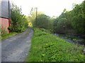
Track at the Gala Water
This track is just off Winston Road and runs adjacent to Scottish Water Board premises.
Image: © James Denham
Taken: 13 May 2008
0.06 miles
2

Haining Drive, Tweedbank
Houses in the residential development of Tweedbank on the south side of the river downstream from Galashiels.
Image: © Jim Barton
Taken: 17 Jan 2020
0.08 miles
3
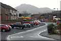
Honeylees Drive, Tweedbank
In the relatively new housing development at Tweedbank with the Eildon Hills forming a fine backdrop.
Image: © Jim Barton
Taken: 30 Nov 2011
0.09 miles
5
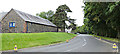
Essenside Drive
Tweedbank Craft Centre is on the left.
Image: © Thomas Nugent
Taken: 26 Sep 2015
0.10 miles
6
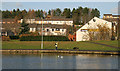
Housing at Tweedbank
Viewed from the northeast corner of Gun Knowe Loch.
Image: © Walter Baxter
Taken: 16 Nov 2008
0.10 miles
7
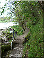
Catwalk alongside the Tweed
The Borders Abbeys Way, a circular long-distance walking route in the Scottish Borders, here follows a short length of catwalk alongside the River Tweed. With the construction of Border Rail, the Southern Uplands Way which previously followed the trackbed of the old railway has now been diverted and runs in common with the Borders Abbeys Way for over 4 km from Galafoot Bridge to Chain Bridge.
Image: © Oliver Dixon
Taken: 5 May 2014
0.12 miles
8
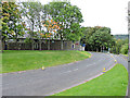
Essenside Drive
Off Tweedbank Drive. Tweedbank Craft Centre is visible.
Image: © Thomas Nugent
Taken: 26 Sep 2015
0.12 miles
9
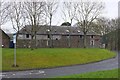
Tweedbank Craft Centre
This appears to be an old building converted to house small craft businesses.
Image: © Jim Barton
Taken: 17 Feb 2016
0.12 miles
10
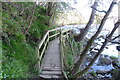
Path beside the Tweed
A few sets of steps here.
Image: © Richard Webb
Taken: 19 Apr 2022
0.12 miles