IMAGES TAKEN NEAR TO
Crossway, TAUNTON, TA1 2DG
Introduction
This page details the photographs taken nearby to Crossway, TA1 2DG by members of the Geograph project.
The Geograph project started in 2005 with the aim of publishing, organising and preserving representative images for every square kilometre of Great Britain, Ireland and the Isle of Man.

There are currently over 7.5m images from over14,400 individuals and you can help contribute to the project by visiting https://www.geograph.org.uk
Image Map (Loading...)


Getting Data...Please wait
Leaflet Map data © OpenStreetMap
Images are licensed for reuse under creativecommons.org/licenses/by-sa/2.0
Notes
- Clicking on the map will re-center to the selected point.
- The higher the marker number, the further away the image location is from the centre of the postcode.
Image Listing (18 Images Found)
Images are licensed for reuse under creativecommons.org/licenses/by-sa/2.0
Image
Details
Distance
2
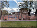
Taunton : UK Hydrographic Office
Some demolition takes place.
Image: © Lewis Clarke
Taken: 5 Apr 2021
0.18 miles
3
The United Kingdom Hydrographic Office, Taunton
Image: © Roger Cornfoot
Taken: 30 Aug 2012
0.18 miles
4
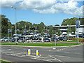
Car dealership on Toneway (A38), Taunton
Image: © Ken Grainger
Taken: 30 Jul 2009
0.20 miles
6
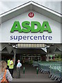
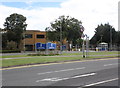
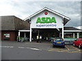
Taunton : ASDA Supercentre
ASDA supercentre is open 24 hours according to the little red sign.
Image: © Lewis Clarke
Taken: 17 Jun 2008
0.21 miles
8
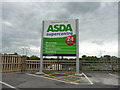
Taunton : ASDA Supercentre Sign
A sign just off of Toneway to entice people to shop here.
Image: © Lewis Clarke
Taken: 17 Jun 2008
0.21 miles
10
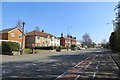
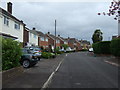
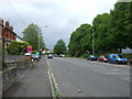
Hamilton Road, Taunton
Residential on one side with Hamilton Gault playing fields on the other.
Image: © Richard Webb
Taken: 6 Apr 2015
0.21 miles