IMAGES TAKEN NEAR TO
Station Road, WHITCHURCH, SY13 3LL
Introduction
This page details the photographs taken nearby to Station Road, SY13 3LL by members of the Geograph project.
The Geograph project started in 2005 with the aim of publishing, organising and preserving representative images for every square kilometre of Great Britain, Ireland and the Isle of Man.

There are currently over 7.5m images from over14,400 individuals and you can help contribute to the project by visiting https://www.geograph.org.uk
Image Map
Images are licensed for reuse under creativecommons.org/licenses/by-sa/2.0
Notes
- Clicking on the map will re-center to the selected point.
- The higher the marker number, the further away the image location is from the centre of the postcode.
Image Listing (8 Images Found)
Images are licensed for reuse under creativecommons.org/licenses/by-sa/2.0
Image
Details
Distance
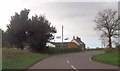
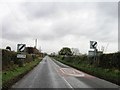
4
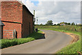
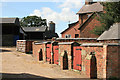
Coton farm
On a bend in the road nr Prees station is Coton farm which keeps dairy cattle.
Image: © roger geach
Taken: 22 Aug 2012
0.09 miles
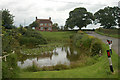
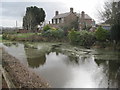
5
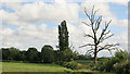
Looking across the fields nr Coton farm
A view from a muddy gateway opposite Coton farm looking across towards the railway which is hidden behind the trees in the distance.
Image: © roger geach
Taken: 22 Aug 2012
0.13 miles