
IMAGES TAKEN NEAR TO
Charles Street, STOKE-ON-TRENT, ST8 6JB
Introduction
This page details the photographs taken nearby to Charles Street, ST8 6JB by members of the Geograph project.
The Geograph project started in 2005 with the aim of publishing, organising and preserving representative images for every square kilometre of Great Britain, Ireland and the Isle of Man.

There are currently over 7.5m images from over14,400 individuals and you can help contribute to the project by visiting https://www.geograph.org.uk
Image Map
Images are licensed for reuse under creativecommons.org/licenses/by-sa/2.0
Notes
- Clicking on the map will re-center to the selected point.
- The higher the marker number, the further away the image location is from the centre of the postcode.
Image Listing (103 Images Found)
Images are licensed for reuse under creativecommons.org/licenses/by-sa/2.0
Image
Details
Distance
1
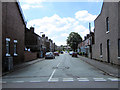
Shepherd Street
Taken from its junction with Well Street, Shepherd Street goes through to link with Slater Street.
Image: © Jonathan Kington
Taken: 16 Aug 2010
0.05 miles
2
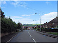
Down Well Street
Looking down Well Street from its junction with Image
Image: © Jonathan Kington
Taken: 5 Aug 2010
0.06 miles
3
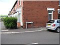
Sign for Kingsfield Road
The sign for Image at its junction with Well Street, just visible on the left.
Image: © Jonathan Kington
Taken: 16 Aug 2010
0.08 miles
4
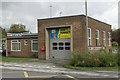
Biddulph fire station
Biddulph fire station, Princess Street, Biddulph, Staffordshire.
Image: © Kevin Hale
Taken: 23 Oct 2006
0.09 miles
5

Heath Street sign
This is the sign for Image, Well Street can be seen in the background.
Image: © Jonathan Kington
Taken: 16 Aug 2010
0.09 miles
6
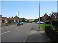
Well Street
Looking east along a short section of Well Street, that runs from the Image to Lawton Street, emerging by the Image
Image: © Jonathan Kington
Taken: 16 Aug 2010
0.09 miles
7
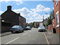
Heath Street
Taken from its junction with Well Street, Heath Street is a short street that takes a sharp left at the end, then becoming Cole Street before its junction with Shepherd Street.
Image: © Jonathan Kington
Taken: 16 Aug 2010
0.09 miles
8
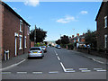
Kingsfield Road
From its junction here with Well Street, Kingsfield Road crosses the top end of Image before carrying on past the Image, to the Image
Image: © Jonathan Kington
Taken: 16 Aug 2010
0.10 miles
9
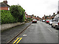
Moorfield Avenue
Moorfield Avenue runs at right-angles to Gunn Street (Image) and is typical of the back streets of Biddulph, a once industrial town.
Image: © Jonathan Kington
Taken: 7 Dec 2009
0.11 miles
10
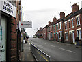
Well Street, Biddulph
This is looking up Well Street from its junction with the High Street and past the junction with John Street (Image). The Red Cross shop can also be seen in Image
Image: © Jonathan Kington
Taken: 3 Feb 2010
0.12 miles