
IMAGES TAKEN NEAR TO
Kirkstall Place, NEWCASTLE, ST5 3PF
Introduction
This page details the photographs taken nearby to Kirkstall Place, ST5 3PF by members of the Geograph project.
The Geograph project started in 2005 with the aim of publishing, organising and preserving representative images for every square kilometre of Great Britain, Ireland and the Isle of Man.

There are currently over 7.5m images from over14,400 individuals and you can help contribute to the project by visiting https://www.geograph.org.uk
Image Map
Images are licensed for reuse under creativecommons.org/licenses/by-sa/2.0
Notes
- Clicking on the map will re-center to the selected point.
- The higher the marker number, the further away the image location is from the centre of the postcode.
Image Listing (13 Images Found)
Images are licensed for reuse under creativecommons.org/licenses/by-sa/2.0
Image
Details
Distance
1
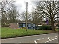
Newcastle-under-Lyme: Clayton Library
Image: © Jonathan Hutchins
Taken: 11 Mar 2017
0.17 miles
2
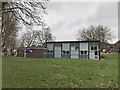
Newcastle-under-Lyme: Clayton Library
Image: © Jonathan Hutchins
Taken: 11 Mar 2017
0.17 miles
3
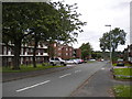
Rydal Way, Westbury Park
In contrast with the river themed roads south of Seabridge Lane, those north of it towards its eastern end are named after Cumbrian lakes. The low rise flats with exposed walkways (left) on Rydal Way also contrast with the terraced or semi detached houses on the other side of Seabridge Lane.
Image: © Richard Vince
Taken: 29 Jun 2013
0.17 miles
4
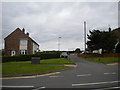
Service road off Seabridge Lane, Westbury Park
Opposite the north end of Orwell Place.
Image: © Richard Vince
Taken: 29 Jun 2013
0.18 miles
5

Newcastle-under-Lyme: Seabridge Lane
Image: © Jonathan Hutchins
Taken: 8 Dec 2015
0.19 miles
6
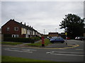
Orwell Place, Westbury Park
The car park serves a small shopping precinct at the south end of Orwell Place as well as the houses on the left.
Image: © Richard Vince
Taken: 29 Jun 2013
0.19 miles
7
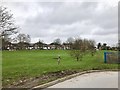
Newcastle-under-Lyme: green space in Clayton
Between the Library and Hollowood Chemist's.
Image: © Jonathan Hutchins
Taken: 11 Mar 2017
0.20 miles
8
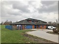
Newcastle-under-Lyme: Hollowood Chemist
Image: © Jonathan Hutchins
Taken: 11 Mar 2017
0.21 miles
9
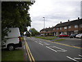
Eastern end of Seabridge Lane, Westbury Park
The terraced houses seen here are fairly typical of this area, though there are also semi detached houses, and a few low rise blocks of flats.
Image: © Richard Vince
Taken: 29 Jun 2013
0.23 miles
10
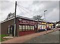
Newcastle-under-Lyme: Clayton shops
Image: © Jonathan Hutchins
Taken: 11 Mar 2017
0.24 miles