
IMAGES TAKEN NEAR TO
Forest Close, NEWCASTLE, ST5 3BG
Introduction
This page details the photographs taken nearby to Forest Close, ST5 3BG by members of the Geograph project.
The Geograph project started in 2005 with the aim of publishing, organising and preserving representative images for every square kilometre of Great Britain, Ireland and the Isle of Man.

There are currently over 7.5m images from over14,400 individuals and you can help contribute to the project by visiting https://www.geograph.org.uk
Image Map
Images are licensed for reuse under creativecommons.org/licenses/by-sa/2.0
Notes
- Clicking on the map will re-center to the selected point.
- The higher the marker number, the further away the image location is from the centre of the postcode.
Image Listing (16 Images Found)
Images are licensed for reuse under creativecommons.org/licenses/by-sa/2.0
Image
Details
Distance
1
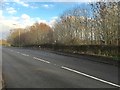
Newcastle-under-Lyme: bus stop and lay-by on Whitmore Road
Image: © Jonathan Hutchins
Taken: 7 Dec 2015
0.08 miles
2
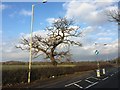
Newcastle-under-Lyme: lone tree on Whitmore Road
Image: © Jonathan Hutchins
Taken: 7 Dec 2015
0.10 miles
3
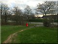
Newcastle-under-Lyme: path emerging onto Seabridge Lane
Emerging from the trees seen in http://www.geograph.org.uk/photo/4759568 the path crosses a small green space http://www.geograph.org.uk/photo/3570252 before reaching Seabridge Lane.
Image: © Jonathan Hutchins
Taken: 7 Dec 2015
0.12 miles
4
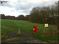
Newcastle-under-Lyme: path emerging onto Seabridge Lane
The green space here is also seen in http://www.geograph.org.uk/photo/3570252
Image: © Jonathan Hutchins
Taken: 7 Dec 2015
0.12 miles
5

Newcastle-under-Lyme: junction of Seabridge Lane and Whitmore Road
Image: © Jonathan Hutchins
Taken: 7 Dec 2015
0.13 miles
6
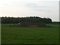
Reservoir
This small reservoir is in a field alongside the A534. The small wood behind it is the entertainingly named "Pie Rough".
Image: © Steve Lewin
Taken: 26 Apr 2007
0.14 miles
7
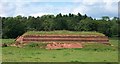
Reservoir, Seabridge
Just off the north west side of Whitmore Road, (A53) Newcastle under Lyme. Near to junction with Seabridge Lane.
A previous visitor: Image
Image: © Carl Farnell
Taken: 20 Jun 2011
0.14 miles
8
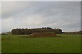
Newcastle-under-Lyme: covered reservoir off Whitmore Road
Previous views can be seen at http://www.geograph.org.uk/photo/414393 (2007) and http://www.geograph.org.uk/photo/2470812 (2011). The wood in the background is called Pie Rough.
Image: © Jonathan Hutchins
Taken: 7 Dec 2015
0.15 miles
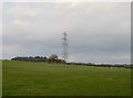
10
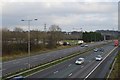
M6 looking east from Whitmore Road overbridge
Image: © Jonathan Hutchins
Taken: 7 Dec 2015
0.21 miles