
IMAGES TAKEN NEAR TO
Bellbrook, STAFFORD, ST19 5DL
Introduction
This page details the photographs taken nearby to Bellbrook, ST19 5DL by members of the Geograph project.
The Geograph project started in 2005 with the aim of publishing, organising and preserving representative images for every square kilometre of Great Britain, Ireland and the Isle of Man.

There are currently over 7.5m images from over14,400 individuals and you can help contribute to the project by visiting https://www.geograph.org.uk
Image Map
Images are licensed for reuse under creativecommons.org/licenses/by-sa/2.0
Notes
- Clicking on the map will re-center to the selected point.
- The higher the marker number, the further away the image location is from the centre of the postcode.
Image Listing (172 Images Found)
Images are licensed for reuse under creativecommons.org/licenses/by-sa/2.0
Image
Details
Distance
1
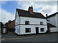
Flames, Penkridge
The building dates from 1673 https://historicengland.org.uk/listing/the-list/list-entry/1294988
Image: © Jonathan Thacker
Taken: 3 Jun 2021
0.04 miles
2
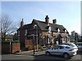
The Star, Penkridge
Next to the old marketplace.
Image: © John M
Taken: 10 Feb 2008
0.04 miles
3
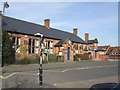
St Michaels C of E First School
Facing the marketplace in the centre of the village.
Image: © John M
Taken: 10 Feb 2008
0.05 miles
4
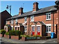
The Palisadings - Market Street
These are shown on 1884 mapping and may have been built by the Hatherton Estate for the estate workers. The porches are a modern addition.
Image: © John M
Taken: 6 Jun 2016
0.06 miles
5
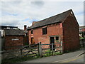
The Lock Up, Penkridge
Barn converted to be a lock up https://historicengland.org.uk/listing/the-list/list-entry/1039218 and now a heritage centre http://wwwbeeson.co.uk/civicsociety/
Image: © Jonathan Thacker
Taken: 3 Jun 2021
0.06 miles
6
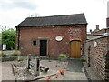
The Lock Up and stocks, Penkridge
Barn converted to be a lock up https://historicengland.org.uk/listing/the-list/list-entry/1039218 and now a heritage centre http://wwwbeeson.co.uk/civicsociety/
Image: © Jonathan Thacker
Taken: 3 Jun 2021
0.06 miles
7
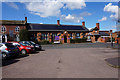
St Michael's First School
Market Place, Penkridge.
Image: © Ian S
Taken: 31 Mar 2016
0.06 miles
8
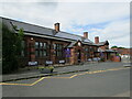
St. Michael's Church of England (Aided) First School, Penkridge
One of three First Schools in Penkridge.
Image: © Jonathan Thacker
Taken: 3 Jun 2021
0.06 miles
10
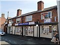
Farm Cottages - Market Street
Shown on the 1884 mapping and may be associated with the Hatherton Estate as the earlier Palisadings on opposite side of road. Converted to shops.
Image: © John M
Taken: 6 Jun 2016
0.07 miles