IMAGES TAKEN NEAR TO
Swan Lane, STAFFORD, ST18 9AE
Introduction
This page details the photographs taken nearby to Swan Lane, ST18 9AE by members of the Geograph project.
The Geograph project started in 2005 with the aim of publishing, organising and preserving representative images for every square kilometre of Great Britain, Ireland and the Isle of Man.

There are currently over 7.5m images from over14,400 individuals and you can help contribute to the project by visiting https://www.geograph.org.uk
Image Map (Loading...)


Getting Data...Please wait
Leaflet Map data © OpenStreetMap
Images are licensed for reuse under creativecommons.org/licenses/by-sa/2.0
Notes
- Clicking on the map will re-center to the selected point.
- The higher the marker number, the further away the image location is from the centre of the postcode.
Image Listing (10 Images Found)
Images are licensed for reuse under creativecommons.org/licenses/by-sa/2.0
Image
Details
Distance
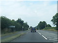
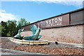
3
A449 near Home Farm
A449 just south of Dunston Home farm on the left
Image: © David Bagshaw
Taken: 20 Jan 2006
0.15 miles
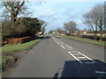
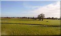
4
Grassy field near Dunston
The M6 motorway can be both seen and heard.
Image: © Bill Boaden
Taken: 26 Jun 2015
0.17 miles

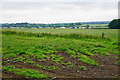
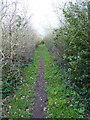
8
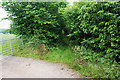
Bridleway near Dunston
This is the continuation of Old Vicarage Lane. The prospects do not look good for getting through.
Image: © Bill Boaden
Taken: 26 Jun 2015
0.19 miles
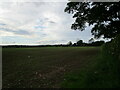
10
The bridleway leading to Lower Drayton
Image: © Richard Law
Taken: 27 Jan 2012
0.21 miles