
IMAGES TAKEN NEAR TO
Holdiford Road, STAFFORD, ST17 0UX
Introduction
This page details the photographs taken nearby to Holdiford Road, ST17 0UX by members of the Geograph project.
The Geograph project started in 2005 with the aim of publishing, organising and preserving representative images for every square kilometre of Great Britain, Ireland and the Isle of Man.

There are currently over 7.5m images from over14,400 individuals and you can help contribute to the project by visiting https://www.geograph.org.uk
Image Map
Images are licensed for reuse under creativecommons.org/licenses/by-sa/2.0
Notes
- Clicking on the map will re-center to the selected point.
- The higher the marker number, the further away the image location is from the centre of the postcode.
Image Listing (149 Images Found)
Images are licensed for reuse under creativecommons.org/licenses/by-sa/2.0
Image
Details
Distance
1
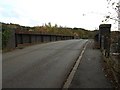
Railway Bridge looking towards Milford
Road bridge on the road leading from Milford to Tixall and Great Haywood. I understand that a bridge has existed at this point since 1877 when the former level crossing at this was replaced. To the right was the former Milford and Brocton station, now vanished from the face of the earth. At the other end of the bridge it is still possible to see where the old road would have crossed the track.
Image: © Tim Marshall
Taken: 7 Nov 2008
0.03 miles
3

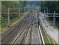
Modernised West Coast Main Line at Milford & Brocton, 2004
View eastward, towards Rugby and London, during the 2002-08 major engineering works. The station had been just behind the camera, closed 6/3/50 to passengers, 7/3/60 to goods. (Cf. Image]).
Image: © Ben Brooksbank
Taken: 27 Jun 2004
0.04 miles
4
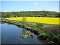
View towards railway bridge from aqueduct over the River Sow near Milford
Image: © Colin Park
Taken: 27 Apr 2011
0.04 miles
5
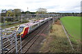
Virgin Train passing Milford
Heading towards Stafford.
Image: © Bill Boaden
Taken: 21 Oct 2011
0.06 miles
6
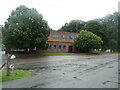
Milford Pumping Station
On Holdiford Road, Milford. Part of Severn Trent Water.
Image: © Christine Johnstone
Taken: 21 Aug 2021
0.06 miles
7
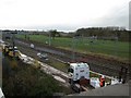
Site of Milford & Brocton Railway Station
Used by visitors to Cannock Chase for decades but closed to passengers in the 1950's and demolished many years ago there is a modern sign next to the line which reads Milford & Brocton, otherwise it is hard to imagine that any station ever existed at this point.
Image: © Tim Marshall
Taken: 7 Nov 2008
0.07 miles
8
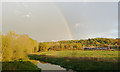
The Sow Valley near Milford, Staffordshire
Following a shower of rain, the late evening sunshine (with rainbow) illuminates the valley as a Virgin Pendolino train speeds by. In the foreground the River Sow flows away towards its confluence with the Trent a mile and a half away at Great Haywood.
Image: © Roger D Kidd
Taken: 22 Oct 2009
0.08 miles
9
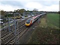
Virgin Pendolino at Milford and Brocton Station site
A modern class 390 (Pendolino) of Virgin Railways roars past the site of Milford and Brocton Station en-route for London Euston. The camera's shutter speed of 1/40th of a second has produced some motion blur!
Image: © Tim Marshall
Taken: 7 Nov 2008
0.08 miles
10
Waterlogged woodland
This small wood between Holdiford Lane and the railway seems to be permanently waterlogged to the detriment of the trees.
Image: © Simon Huguet
Taken: 4 Apr 2009
0.09 miles