
IMAGES TAKEN NEAR TO
Common Lane, STAFFORD, ST17 0SF
Introduction
This page details the photographs taken nearby to Common Lane, ST17 0SF by members of the Geograph project.
The Geograph project started in 2005 with the aim of publishing, organising and preserving representative images for every square kilometre of Great Britain, Ireland and the Isle of Man.

There are currently over 7.5m images from over14,400 individuals and you can help contribute to the project by visiting https://www.geograph.org.uk
Image Map
Images are licensed for reuse under creativecommons.org/licenses/by-sa/2.0
Notes
- Clicking on the map will re-center to the selected point.
- The higher the marker number, the further away the image location is from the centre of the postcode.
Image Listing (20 Images Found)
Images are licensed for reuse under creativecommons.org/licenses/by-sa/2.0
Image
Details
Distance
2
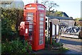
Post and telephone boxes
The phone box is no longer functional.
Image: © John M
Taken: 10 Nov 2013
0.04 miles
4
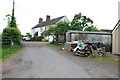
Track Off Common Lane, Bednall.
Part of the Shop & Post Office in the right hand corner.
Image: © Mick Malpass
Taken: 29 May 2011
0.07 miles
6
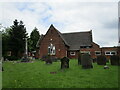
All Saints' Church of England Primary School, Bednall
Image: © Jonathan Thacker
Taken: 3 Jun 2021
0.15 miles
8
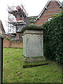
Unknown memorial in All Saints graveyard
Thought to be late 18th or early 19th century, this now-illegible ashlar stone altar tomb was Grade II listed https://britishlistedbuildings.co.uk/101295224-memorial-approximately-50-yards-south-of-south-aisle-of-church-of-all-saints-acton-trussell-and-bednall#.X57kWoj7TIU & https://historicengland.org.uk/listing/the-list/list-entry/1295224 in 1986.
Image: © Richard Law
Taken: 18 Oct 2020
0.16 miles
9
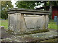
William Stokes' memorial, All Saints churchyard, Bednall
A chest tomb for one William Stokes, died 1827, which was Grade II listed https://britishlistedbuildings.co.uk/101178106-william-stokes-memorial-approximately-25-yards-south-of-south-aisle-of-church-of-all-saints-acton-trussell-and-bednall#.X57lHoj7TIU & https://historicengland.org.uk/listing/the-list/list-entry/1178106 in 1986.
Image: © Richard Law
Taken: 18 Oct 2020
0.16 miles
10
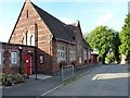
All Saints CE (A) Primary School
Founded in 1856 as the Acton Trussell and Bednall School, a new stone was inserted into the front gable to commemorate the 150th anniversary in 2006. The former schoolmaster's house adjoins to the left, but I didn't photograph that on this occasion, as the owners were clearly at home.
Image: © Richard Law
Taken: 22 Aug 2012
0.16 miles