
IMAGES TAKEN NEAR TO
Northwood Park Road, STOKE-ON-TRENT, ST1 6QS
Introduction
This page details the photographs taken nearby to Northwood Park Road, ST1 6QS by members of the Geograph project.
The Geograph project started in 2005 with the aim of publishing, organising and preserving representative images for every square kilometre of Great Britain, Ireland and the Isle of Man.

There are currently over 7.5m images from over14,400 individuals and you can help contribute to the project by visiting https://www.geograph.org.uk
Image Map
Images are licensed for reuse under creativecommons.org/licenses/by-sa/2.0
Notes
- Clicking on the map will re-center to the selected point.
- The higher the marker number, the further away the image location is from the centre of the postcode.
Image Listing (12 Images Found)
Images are licensed for reuse under creativecommons.org/licenses/by-sa/2.0
Image
Details
Distance
1
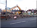
Regeneration? Bucknall New Road, Hanley
Looking across to the south side of the road at what was once terraced buildings. The row was between Homer Street, (off left side of photo) and Eagle Street (off right side of photo).
Image: © Carl Farnell
Taken: 11 Jun 2011
0.12 miles
2
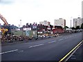
Regeneration? Bucknall New Road, Hanley
Looking across to the south side of the road at what was once terraced buildings. The centre right of the shot shows the entrance to Eagle Street. The school in the background is Hanley St Luke's C of E Aided Primary School on Wellington Road, but that is in the next grid west Image
Image: © Carl Farnell
Taken: 11 Jun 2011
0.13 miles
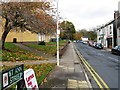
4
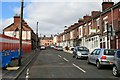
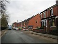
Demolition on Balfour Street
Most of the terraced housing in this area (dating I would expect from the 2nd half of the 19th century) has been or looks to be soon demolished.
Here the west side of Balfour Street is in the process of being knocked down (a crew with a JCB was working behind the barriers on the left). It looks like the east side is to survive (either that or the owners of the house with the green sign do not have much chance of getting a buyer!)
Image: © David Lally
Taken: 20 Mar 2012
0.22 miles
5
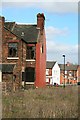
House awaiting demolition
On the corner of Tintern Street and Waterloo Street. A view of the rear of the house only possible because of the previous demolition of the houses on Balfour Street from where this was taken. The houses to the south on Tintern Street have also already gone.
Image: © David Lally
Taken: 20 Mar 2012
0.23 miles
7
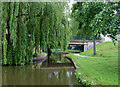
Caldon Canal at Northwood, Stoke-on-Trent
Looking north towards Cromer Road Bridge, No 13. Old maps show that this replaced an earlier drawbridge/lift-bridge.
Image: © Roger D Kidd
Taken: 27 May 2011
0.23 miles
9
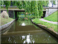
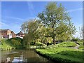
Cromer Road Bridge at Northwood, Stoke-on-Trent
Bridge No 13 on the Caldon Branch of the Trent and Mersey Canal. Old maps show that this replaced an earlier drawbridge/lift-bridge.
Image: © Roger D Kidd
Taken: 27 May 2011
0.24 miles
10
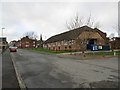
Northwood Parish Hall
Seen from the end of Jervis Street. Keelings Road is behind the camera.
Image: © David Weston
Taken: 21 Feb 2014
0.24 miles