
IMAGES TAKEN NEAR TO
South Street, STAFFORD, ST16 2DW
Introduction
This page details the photographs taken nearby to South Street, ST16 2DW by members of the Geograph project.
The Geograph project started in 2005 with the aim of publishing, organising and preserving representative images for every square kilometre of Great Britain, Ireland and the Isle of Man.

There are currently over 7.5m images from over14,400 individuals and you can help contribute to the project by visiting https://www.geograph.org.uk
Image Map
Images are licensed for reuse under creativecommons.org/licenses/by-sa/2.0
Notes
- Clicking on the map will re-center to the selected point.
- The higher the marker number, the further away the image location is from the centre of the postcode.
Image Listing (509 Images Found)
Images are licensed for reuse under creativecommons.org/licenses/by-sa/2.0
Image
Details
Distance
1
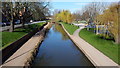
The river Sow in Stafford
This small river runs through the centre of Stafford.
Image: © Peter Mackenzie
Taken: 15 Mar 2017
0.01 miles
2
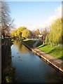
River Sow, Stafford
This view was taken from Victoria Road, looking along the river as it flows through Victoria Park. Broadeye Windmill is just visible above the trees. It was built in 1796 and there is a lot of information on the website http://www.broadeyewindmill.co.uk/
Image: © Tricia Neal
Taken: 4 Dec 2013
0.03 miles
3
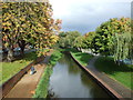
The River Sow, Stafford
View north west from the bridge on Victoria Road.
Image: © JThomas
Taken: 7 Oct 2017
0.03 miles
4
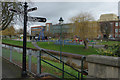
River Sow, Stafford
The River flows past Victoria Park and its children's play equipment, with buildings on Tenterbanks in the background.
Image: © Stephen McKay
Taken: 28 Feb 2015
0.04 miles
5
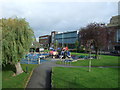
Children's playground, Stafford
Near the River Sow.
Image: © JThomas
Taken: 7 Oct 2017
0.04 miles
7
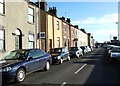
Railway Street
A terrace of C19th artisans' dwellings in the Castletown area. Many of the houses have been sympathetically restored and the area would be a pleasant oasis of calm were it not for the presence of the railway - in particular the streets become very crowded with commuters' cars parked up on working days due to the inadequacy of the station carpark.
The 'T' shaped block at the right of the picture is the station building.
Image: © Simon Huguet
Taken: 20 Jan 2009
0.05 miles
8
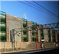
Multi-storey car park by Stafford Station
Image: © N Chadwick
Taken: 2 Mar 2013
0.05 miles
10
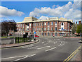
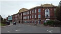
Stafford College
The college buildings on Tenterbanks, viewed from Victoria Road.
Image: © David Dixon
Taken: 12 Apr 2011
0.06 miles