
IMAGES TAKEN NEAR TO
Alton Road, UTTOXETER, ST14 5DG
Introduction
This page details the photographs taken nearby to Alton Road, ST14 5DG by members of the Geograph project.
The Geograph project started in 2005 with the aim of publishing, organising and preserving representative images for every square kilometre of Great Britain, Ireland and the Isle of Man.

There are currently over 7.5m images from over14,400 individuals and you can help contribute to the project by visiting https://www.geograph.org.uk
Image Map
Images are licensed for reuse under creativecommons.org/licenses/by-sa/2.0
Notes
- Clicking on the map will re-center to the selected point.
- The higher the marker number, the further away the image location is from the centre of the postcode.
Image Listing (46 Images Found)
Images are licensed for reuse under creativecommons.org/licenses/by-sa/2.0
Image
Details
Distance
1

A sharp bend in the River Churnet
The Churnet is able to do a lot of meandering between here and its meeting with the Dove.
Image: © Bill Boaden
Taken: 29 Mar 2014
0.02 miles
2
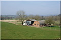
Calwich Cottage Farm
A small farm in the Churnet valley.
Image: © Bill Boaden
Taken: 29 Mar 2014
0.03 miles
3
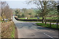
Road junction near Denstone
This is the junction of the B5031 and B5032. There are signs to the M1 and M6 motorways as unfortunately this is on one of the access routes to Alton Towers.
Image: © Bill Boaden
Taken: 29 Mar 2014
0.04 miles
4

Quixhill Bridge
The bridge was built in the early 19th century to replace a ford. It was on one of the salt routes from Nantwich to Derby via Ellastone.
Image: © Ian Calderwood
Taken: 21 Mar 2009
0.07 miles

6
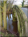
Quixhill Bridge
Taken on the North West side of the bridge with the River Churnet level quite high.
Image: © Linda Bailey
Taken: 1 Jan 2006
0.07 miles
7
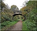
Bridleway on old North Staffordshire Railway line
The line was closed in 1965
Image: © Chris Morgan
Taken: 19 Oct 2020
0.07 miles
8
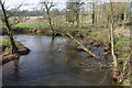
The River Churnet from Quixhill Bridge
The winter branches are making a network of shadows on the water.
Image: © Bill Boaden
Taken: 29 Mar 2014
0.08 miles
9
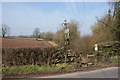
Footpath near Denstone
This path incorporates part of the Staffordshire Way and the Churnet Way
Image: © Bill Boaden
Taken: 29 Mar 2014
0.08 miles
10
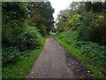
The Staffordshire Way at Denstone
This section of the route is on the trackbed of the Churnet Valley Line which closed in 1965
Image: © Graham Hogg
Taken: 19 Oct 2020
0.10 miles