IMAGES TAKEN NEAR TO
Upper Hulme, LEEK, ST13 8UE
Introduction
This page details the photographs taken nearby to ST13 8UE by members of the Geograph project.
The Geograph project started in 2005 with the aim of publishing, organising and preserving representative images for every square kilometre of Great Britain, Ireland and the Isle of Man.

There are currently over 7.5m images from over14,400 individuals and you can help contribute to the project by visiting https://www.geograph.org.uk
Image Map
Images are licensed for reuse under creativecommons.org/licenses/by-sa/2.0
Notes
- Clicking on the map will re-center to the selected point.
- The higher the marker number, the further away the image location is from the centre of the postcode.
Image Listing (23 Images Found)
Images are licensed for reuse under creativecommons.org/licenses/by-sa/2.0
Image
Details
Distance
1
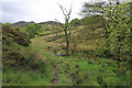
Approaching Ramshaw Rocks
Above Dains Mill and its swamps the Churnet Way approaches Ramshaw Rocks.
Image: © Peter Turner
Taken: 21 May 2016
0.08 miles
2
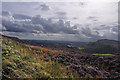
Blackshaw Moor from Ramshaw Rocks
The gritstone hill to the right is Hen Cloud.
Image: © Mick Lobb
Taken: 7 Sep 2011
0.09 miles
3
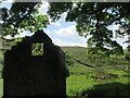
Remains of old barn near Naychurch farm
A walk to the Roaches.
Image: © steven ruffles
Taken: 5 Jun 2021
0.10 miles
4
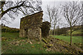
Derelict Barn, The Roaches
Half a stone barn just off the Churnet Way.
Image: © Brian Deegan
Taken: 7 Mar 2020
0.11 miles
6
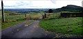
Looking towards the Cheshire Plain
View from just off the Leek to Buxton road across towards Hen Cloud.
Image: © Howard Selina
Taken: 14 Aug 2007
0.11 miles
8
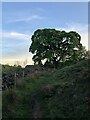
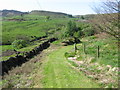
Footpath approaching ruined barn near Naychurch
Image: © Philip Cornwall
Taken: 30 May 2021
0.12 miles