
IMAGES TAKEN NEAR TO
Baskerville Road, STOKE-ON-TRENT, ST1 2DL
Introduction
This page details the photographs taken nearby to Baskerville Road, ST1 2DL by members of the Geograph project.
The Geograph project started in 2005 with the aim of publishing, organising and preserving representative images for every square kilometre of Great Britain, Ireland and the Isle of Man.

There are currently over 7.5m images from over14,400 individuals and you can help contribute to the project by visiting https://www.geograph.org.uk
Image Map
Images are licensed for reuse under creativecommons.org/licenses/by-sa/2.0
Notes
- Clicking on the map will re-center to the selected point.
- The higher the marker number, the further away the image location is from the centre of the postcode.
Image Listing (11 Images Found)
Images are licensed for reuse under creativecommons.org/licenses/by-sa/2.0
Image
Details
Distance
1
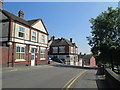
Bucknall Old Road, Hanley
A short distance from Hanley town centre. Looking towards the junction with Dyke Street.
Image: © David Weston
Taken: 25 May 2017
0.07 miles
2
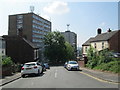
Dyke Street, Hanley
Looking towards the junction with Bucknall Old Road and blocks of flats beyond.
Image: © David Weston
Taken: 25 May 2017
0.08 miles
5
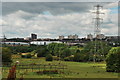
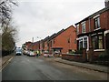
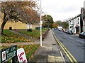
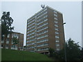
Hanley Flats, Stoke-on-Trent
View of Hanley flats from Fenton Road, Bentilee.
Image: © Stu JP
Taken: 16 Aug 2015
0.14 miles
8
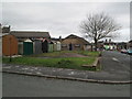
Northwood Parish Hall
The back of Northwood Parish Hall, seen from Northwood Park Road.
Image: © David Weston
Taken: 21 Feb 2014
0.19 miles
9
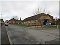
Northwood Parish Hall
Seen from the end of Jervis Street. Keelings Road is behind the camera.
Image: © David Weston
Taken: 21 Feb 2014
0.20 miles
10
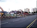
Regeneration? Bucknall New Road, Hanley
Looking across to the south side of the road at what was once terraced buildings. The centre right of the shot shows the entrance to Eagle Street. The school in the background is Hanley St Luke's C of E Aided Primary School on Wellington Road, but that is in the next grid west Image
Image: © Carl Farnell
Taken: 11 Jun 2011
0.21 miles