
IMAGES TAKEN NEAR TO
Cleveland Road, CANVEY ISLAND, SS8 0AU
Introduction
This page details the photographs taken nearby to Cleveland Road, SS8 0AU by members of the Geograph project.
The Geograph project started in 2005 with the aim of publishing, organising and preserving representative images for every square kilometre of Great Britain, Ireland and the Isle of Man.

There are currently over 7.5m images from over14,400 individuals and you can help contribute to the project by visiting https://www.geograph.org.uk
Image Map
Images are licensed for reuse under creativecommons.org/licenses/by-sa/2.0
Notes
- Clicking on the map will re-center to the selected point.
- The higher the marker number, the further away the image location is from the centre of the postcode.
Image Listing (38 Images Found)
Images are licensed for reuse under creativecommons.org/licenses/by-sa/2.0
Image
Details
Distance
1
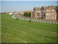
Canvey Island: Western Esplanade
The Western Esplanade first appeared as a road on an Ordnance Survey map of the island on the Edition of 1939, but the housing development on the right only came much later, after 1980 at least. This is the view looking along the east side of Thorney Bay.
Image: © Nigel Cox
Taken: 8 Mar 2011
0.07 miles
2
Western Esplanade, Canvey Island
Taken from the car park at Thorney Bay.
Image: © David Kemp
Taken: 12 May 2018
0.08 miles
3
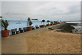
Promenade along east side of Thorney Bay
The seats along the promenade have been provided by bereaved relatives to celebrate the lives of deceased loved-ones and have appropriate plaques attached to them.
Image: © David Kemp
Taken: 12 May 2018
0.10 miles
4
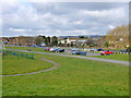
Car Park, Thorney Bay, Canvey Island
Prior to the 1953 floods and subsequent sea defence improvement, the green area to the left of the long path was on the sea side of the sea wall and was saltings. The path follows the line of the old sea wall.
Image: © Robin Webster
Taken: 21 Feb 2015
0.12 miles
5
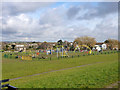
Play area, Thorney Bay, Canvey Island
Prior to the 1953 floods and subsequent sea defence improvement, this green area was on the sea side of the sea wall and was saltings. The mapped public footpath follows the line of the old sea wall.
Image: © Robin Webster
Taken: 21 Feb 2015
0.13 miles
6

Thorney Bay, Canvey Island
The sea end of the old Thorney Creek, dammed off a long time ago (a little more was reclaimed after the 1953 floods) and its inland part was called Thorneycreek Fleet.
Image: © Robin Webster
Taken: 21 Feb 2015
0.13 miles
7
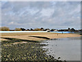
Thorney Bay, Canvey Island
For some reason the seaward face of the sea wall is painted white around the bay, and has been for some years.
Image: © Robin Webster
Taken: 21 Feb 2015
0.13 miles
8
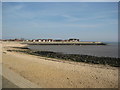
Thorney Bay
A secluded spot to enjoy the sea and sand.
Image: © Ron Galliers
Taken: 20 Mar 2009
0.13 miles
9
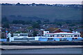
Western Esplanade, Canvey Island, from the Thames
Image: © Mike Pennington
Taken: 12 Sep 2023
0.13 miles
10
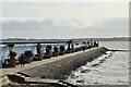
Thorney Bay Seawall
Promenade - with pots
Image: © John Myers
Taken: 10 Nov 2022
0.14 miles