IMAGES TAKEN NEAR TO
Hall Farm Close, BENFLEET, SS7 5JP
Introduction
This page details the photographs taken nearby to Hall Farm Close, SS7 5JP by members of the Geograph project.
The Geograph project started in 2005 with the aim of publishing, organising and preserving representative images for every square kilometre of Great Britain, Ireland and the Isle of Man.

There are currently over 7.5m images from over14,400 individuals and you can help contribute to the project by visiting https://www.geograph.org.uk
Image Map
Images are licensed for reuse under creativecommons.org/licenses/by-sa/2.0
Notes
- Clicking on the map will re-center to the selected point.
- The higher the marker number, the further away the image location is from the centre of the postcode.
Image Listing (103 Images Found)
Images are licensed for reuse under creativecommons.org/licenses/by-sa/2.0
Image
Details
Distance
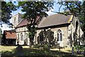
1
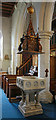
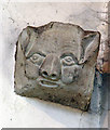
St. Mary the Virgin
South Benfleet.
Image: © Julieanne Savage
Taken: 20 Jan 2007
0.04 miles
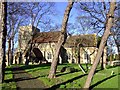
7
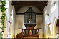
St Mary, South Benfleet, Essex - West end
Image: © John Salmon
Taken: 29 Jul 2006
0.04 miles
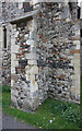
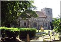
9
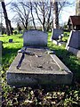
Gravestone
At St. Mary's, Benfleet.
Image: © Julieanne Savage
Taken: 20 Jan 2007
0.05 miles