
IMAGES TAKEN NEAR TO
Downhall Park Way, RAYLEIGH, SS6 9QP
Introduction
This page details the photographs taken nearby to Downhall Park Way, SS6 9QP by members of the Geograph project.
The Geograph project started in 2005 with the aim of publishing, organising and preserving representative images for every square kilometre of Great Britain, Ireland and the Isle of Man.

There are currently over 7.5m images from over14,400 individuals and you can help contribute to the project by visiting https://www.geograph.org.uk
Image Map
Images are licensed for reuse under creativecommons.org/licenses/by-sa/2.0
Notes
- Clicking on the map will re-center to the selected point.
- The higher the marker number, the further away the image location is from the centre of the postcode.
Image Listing (78 Images Found)
Images are licensed for reuse under creativecommons.org/licenses/by-sa/2.0
Image
Details
Distance
1
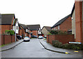
Norwich Crescent
This is one of the roads on a housing estate that is accessed from Downhall Park Way.
Image: © terry joyce
Taken: 12 Jan 2011
0.02 miles
2

End of the line
This is a parking area at the end of Norwich Crescent. The bulk of this centisquare is houses in Truro Crescent.
Image: © terry joyce
Taken: 27 Nov 2012
0.03 miles
3
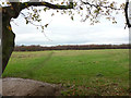
Path to the Park
As you can see local residents use this path to get to Sweyne Park.
Image: © terry joyce
Taken: 26 Nov 2012
0.05 miles
4
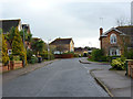
Downhall Park Way
This is part of the access road to Downhall Park Way Housing Estate from Rawreth Lane.
Image: © terry joyce
Taken: 26 Nov 2012
0.06 miles
5
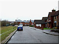
Downhall Park Way
This is a section of road that runs through a housing estate and all the other roads are reached from this. It is accessed from Rawreth Lane. It is approximately 0.75 mile long. It stretches from Image to Image There are several entrances to Image along its length.
Image: © terry joyce
Taken: 12 Jan 2011
0.06 miles
6
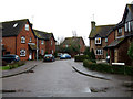
Lincoln Way
This is one of the roads on a housing estate that is accessed from Downhall Park Way.
Image: © terry joyce
Taken: 12 Jan 2011
0.08 miles
8
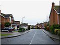
Harberts Way
This is one of the roads on a housing estate that is accessed from Image
Image: © terry joyce
Taken: 12 Jan 2011
0.09 miles
9
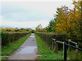
Autumn Bridleway
This section of the Bridleway in Sweyne Park is looking very autumnal.
Image: © terry joyce
Taken: 27 Oct 2010
0.09 miles
10
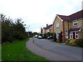
Downhall Park Way
This cul de sac is part of Downhall Park Way. It comprises of numbers 106 - 114 and is marked private road on the sign.
Image: © terry joyce
Taken: 1 Nov 2012
0.09 miles