
IMAGES TAKEN NEAR TO
Hambro Hill, RAYLEIGH, SS6 8BN
Introduction
This page details the photographs taken nearby to Hambro Hill, SS6 8BN by members of the Geograph project.
The Geograph project started in 2005 with the aim of publishing, organising and preserving representative images for every square kilometre of Great Britain, Ireland and the Isle of Man.

There are currently over 7.5m images from over14,400 individuals and you can help contribute to the project by visiting https://www.geograph.org.uk
Image Map
Images are licensed for reuse under creativecommons.org/licenses/by-sa/2.0
Notes
- Clicking on the map will re-center to the selected point.
- The higher the marker number, the further away the image location is from the centre of the postcode.
Image Listing (24 Images Found)
Images are licensed for reuse under creativecommons.org/licenses/by-sa/2.0
Image
Details
Distance
1
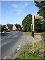
Footpath on the Hill
This is the top of Hambro Hill and the start of the Footpath that crosses the railway line.
Image: © terry joyce
Taken: 21 Oct 2010
0.04 miles
2
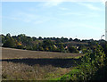
View from the Footpath
Taken from the footpath looking across houses on the Hockley Road.
Image: © terry joyce
Taken: 21 Oct 2010
0.09 miles
3
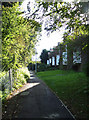
Houses, Hambro Hill
These houses are adjacent to the footpath on Hambro Hill, although vehicle access is from Drakes Way.
Image: © terry joyce
Taken: 21 Oct 2010
0.10 miles
4
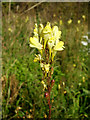
Flower on the Footpath
I believe this is Toadflax.
Image: © terry joyce
Taken: 21 Oct 2010
0.11 miles
5
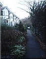
Hambro Hill, Rayleigh
The steepest hill in the area. The footpath is some way to the west of the road.
Image: © John Myers
Taken: 21 Jan 2007
0.11 miles
6
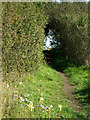
Hambro Hill Footpath
A very nice section of the Footpath heading towards the railway line.
Yellow and white flowers. I think the yellow one is Toadflax.
Image: © terry joyce
Taken: 21 Oct 2010
0.12 miles
7
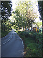
Hambro Hill
This is probably the steepest hill in Rayleigh. Behind the trees to the right is R E Wood & Sons Tree felling contractors.
Image: © terry joyce
Taken: 21 Oct 2010
0.13 miles
8
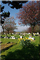
Rayleigh Cemetery
This is the view looking west across the Cemetery on the B1013 Hockley Rd. The elevation here is 67m, which is quite high for Essex.
Image: © Glyn Baker
Taken: 22 Apr 2006
0.15 miles
9
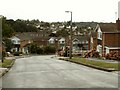
Houses along Upper Lambricks
This part of the road is quite high and has a good view over Rayleigh, which is seen in the distance.
Image: © Robert Edwards
Taken: 13 Aug 2008
0.16 miles
10
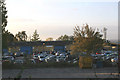
Car Storage
This Car Storage yard is just off the footpath from the top of Hambro Hill.
Image: © terry joyce
Taken: 20 Oct 2007
0.16 miles