IMAGES TAKEN NEAR TO
Watchfield Lane, RAYLEIGH, SS6 7SG
Introduction
This page details the photographs taken nearby to Watchfield Lane, SS6 7SG by members of the Geograph project.
The Geograph project started in 2005 with the aim of publishing, organising and preserving representative images for every square kilometre of Great Britain, Ireland and the Isle of Man.

There are currently over 7.5m images from over14,400 individuals and you can help contribute to the project by visiting https://www.geograph.org.uk
Image Map
Images are licensed for reuse under creativecommons.org/licenses/by-sa/2.0
Notes
- Clicking on the map will re-center to the selected point.
- The higher the marker number, the further away the image location is from the centre of the postcode.
Image Listing (18 Images Found)
Images are licensed for reuse under creativecommons.org/licenses/by-sa/2.0
Image
Details
Distance
2
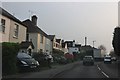
High Road, Rayleigh
Entering Rayleigh from the south on the A129.
Image: © John Allan
Taken: 27 Oct 2010
0.04 miles
4
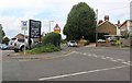
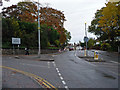
Ridgeway at the junction of High Road, Rayleigh
Image: © David Howard
Taken: 26 Jul 2020
0.13 miles
5
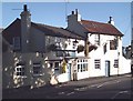
The Paul Pry, Rayleigh
Pub on the High Road.
Image: © John Myers
Taken: 27 Aug 2006
0.16 miles
6
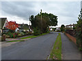
Eastern Road
Suburban living in the south of Rayleigh.
Image: © John Allan
Taken: 27 Oct 2010
0.18 miles
7
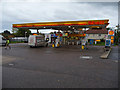
Shell Service Station, Rayleigh Weir
The station is on the A129, just north of its junction with the A127 Southend Arterial Road.
Image: © John Allan
Taken: 27 Oct 2010
0.19 miles
8
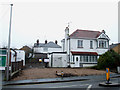
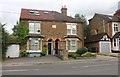
94 High Road
In Rayleigh (Opposite the Shell Garage). Planning permission has been granted
to carry out alterations to this house, demolish an outbuilding. Then construct a four bedroom detached house with an integral garage and construct vehicle access onto the High Road and Weir Farm Road.
Image: © terry joyce
Taken: 24 Jan 2012
0.19 miles
9
Hollytree Gardens
Suburban housing on the outskirts of Rayleigh.
Image: © John Allan
Taken: 27 Oct 2010
0.20 miles