
IMAGES TAKEN NEAR TO
Southview Road, HOCKLEY, SS5 5DY
Introduction
This page details the photographs taken nearby to Southview Road, SS5 5DY by members of the Geograph project.
The Geograph project started in 2005 with the aim of publishing, organising and preserving representative images for every square kilometre of Great Britain, Ireland and the Isle of Man.

There are currently over 7.5m images from over14,400 individuals and you can help contribute to the project by visiting https://www.geograph.org.uk
Image Map
Images are licensed for reuse under creativecommons.org/licenses/by-sa/2.0
Notes
- Clicking on the map will re-center to the selected point.
- The higher the marker number, the further away the image location is from the centre of the postcode.
Image Listing (13 Images Found)
Images are licensed for reuse under creativecommons.org/licenses/by-sa/2.0
Image
Details
Distance
1
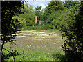
A flowery field, Hockley
The purple tinge appears to be Red Bartsia, a partial parasite on grasses.
Image: © Robin Webster
Taken: 30 Jul 2017
0.08 miles
2
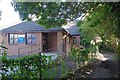
Greensward Surgery
The path to the right is a bridleway
Image: © Glyn Baker
Taken: 26 Aug 2013
0.09 miles
3
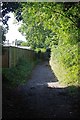
Bridle Path to Greensward Lane
This bridle path runs behind the gardens of Southbourne Grove
Image: © Glyn Baker
Taken: 26 Aug 2013
0.09 miles
4
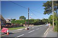
Road Works on Greensward Lane
This area seems well provided with Union Flags.
Image: © Glyn Baker
Taken: 26 Aug 2013
0.13 miles
5
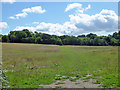
Ungrazed field
A lot of the fields around here accommodate horses, not this one at the moment.
Image: © Robin Webster
Taken: 30 Jul 2017
0.13 miles
6
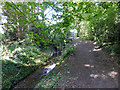
Brook and path, Hockley
The brook 'issues' here on the modern map, evidently the upper parts are now buried under the newer housing of Hockley. It is a tributary of the River Roach.
Image: © Robin Webster
Taken: 30 Jul 2017
0.17 miles
8

Velvet Shank, Flammulina velutipes
An edible fungus, cultivated and esteemed in Japanese cuisine, but easily confused with some rather toxic look-alikes.
Image: © John Myers
Taken: 8 Dec 2020
0.18 miles
9
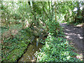
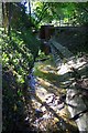
Brook and path, Hockley
The brook has a sort of semi-weir here, where the bed is lined with brickwork. It is where the slope steepens, but that does not seem to be a very convincing reason. It is possible a land drain comes in from the right under or from the path, but it is hard to see. Nothing has ever been mapped here.
Image: © Robin Webster
Taken: 30 Jul 2017
0.21 miles
10
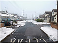
Broad Walk
This is towards the end of Broad Walk near to Image
Broad Walk is accessed from Greensward Lane via Broad Parade.
Image: © terry joyce
Taken: 6 Dec 2010
0.22 miles