IMAGES TAKEN NEAR TO
Vale Avenue, SOUTHEND-ON-SEA, SS2 5FU
Introduction
This page details the photographs taken nearby to Vale Avenue, SS2 5FU by members of the Geograph project.
The Geograph project started in 2005 with the aim of publishing, organising and preserving representative images for every square kilometre of Great Britain, Ireland and the Isle of Man.

There are currently over 7.5m images from over14,400 individuals and you can help contribute to the project by visiting https://www.geograph.org.uk
Image Map
Images are licensed for reuse under creativecommons.org/licenses/by-sa/2.0
Notes
- Clicking on the map will re-center to the selected point.
- The higher the marker number, the further away the image location is from the centre of the postcode.
Image Listing (15 Images Found)
Images are licensed for reuse under creativecommons.org/licenses/by-sa/2.0
Image
Details
Distance
2
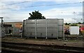
Train wash near Southend Victoria Railway Station
Image: © JThomas
Taken: 25 Aug 2022
0.20 miles
3
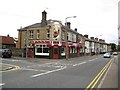
Prittlewell: The Railway
The Railway is on East Street, opposite the, er, station. A fine picture of a steam engine makes an imposing entrance to the pub, but alas, here, next to a former Great Eastern Railway outpost, is a former Great Western Railway locomotive, Castle Class No 5078 Beaufort...
Image: © Nigel Cox
Taken: 3 Aug 2008
0.20 miles
4
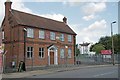
Terriers Home
This is the Southend base for the Territorial Army (Army reserves in modern parlance). It is the local H.Q for the Army Cadets and should you come across a U.X.B in your back garden the Royal Engineers 217 Field Squadron Explosive Ordnance Disposal are here too.
Image: © Glyn Baker
Taken: 20 Aug 2019
0.23 miles
5
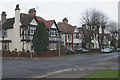
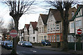
Corner of Tunbridge Road & Carnarvon Road, Southend
The Tunbridge Road street-sign can be seen on the left. This quiet residential area in the town centre is bounded by disused office blocks and large public buildings.
Image: © David Kemp
Taken: 15 Dec 2014
0.23 miles
6
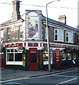
The Railway, Prittlewell
Opposite the station.
Image: © John Myers
Taken: 10 Sep 2006
0.23 miles
7
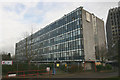
Former South East Essex College building, Carnarvon Road
This building became disused when the College moved to its Luker Road premises in 2004.
Image: © David Kemp
Taken: 15 Dec 2014
0.23 miles
8
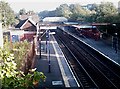
Prittlewell Rail Station
Prittlewell rail station from West Street bridge. Just 900 m from Southend Victoria this must be one of the shortest inter-station stretches on the UK over-ground network. The west-bound platform accommodates only 8 cars and the normal trains are 12 car.
Image: © John Myers
Taken: 30 Aug 2006
0.24 miles
9
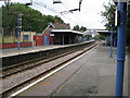
Prittlewell railway station
The Great Eastern Railway opened their branch line from London Liverpool Street to Southend via Shenfield in 1889 and Prittlewell station was opened three years later in 1892. At that time Prittlewell was a distinct village, whereas today it has been swallowed up in the urban sprawl of Southend.
The gentleman sat on the bench on the opposite platform is in for a long wait. This is Sunday, no trains stop and the next departure towards Rochford is at the nonetheless remarkably early time of 0404 hours on Monday morning...
Image: © Nigel Cox
Taken: 3 Aug 2008
0.24 miles