
IMAGES TAKEN NEAR TO
Grant Close, WICKFORD, SS12 9NF
Introduction
This page details the photographs taken nearby to Grant Close, SS12 9NF by members of the Geograph project.
The Geograph project started in 2005 with the aim of publishing, organising and preserving representative images for every square kilometre of Great Britain, Ireland and the Isle of Man.

There are currently over 7.5m images from over14,400 individuals and you can help contribute to the project by visiting https://www.geograph.org.uk
Image Map
Images are licensed for reuse under creativecommons.org/licenses/by-sa/2.0
Notes
- Clicking on the map will re-center to the selected point.
- The higher the marker number, the further away the image location is from the centre of the postcode.
Image Listing (14 Images Found)
Images are licensed for reuse under creativecommons.org/licenses/by-sa/2.0
Image
Details
Distance
1
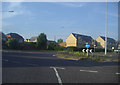
Roundabout on Cranfield Park Road, Wickford
More typical Essex neo-feudal workmens' cottages.
Image: © David Howard
Taken: 20 Jun 2012
0.06 miles
4
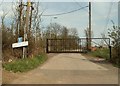
The road to Sappers Farm
Although the road says private, it is used as a public footpath.
Image: © Robert Edwards
Taken: 4 Apr 2008
0.16 miles
5
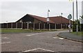
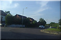
Roundabout on Salcott Way, Wickford
Looking towards the community centre
Image: © David Howard
Taken: 4 Jul 2020
0.18 miles
6
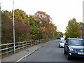
Maitland Road
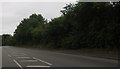
This is Maitland Road. The trees on the left are the edge of a small wood called The Oaks. It is about 170 metres by 50 metres.
Image: © terry joyce
Taken: 22 Nov 2010
0.21 miles
7
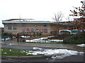
Abacus Primary School
Located on Tresco Way, Wickford.
Image: © terry joyce
Taken: 10 Dec 2010
0.21 miles
8

Salcott Crescent, Wickford
Looking towards Silva Island Way. The nursery school is on the left.
Image: © David Howard
Taken: 13 Apr 2025
0.22 miles
9
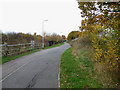
Cycle Path?
This is what appears to be a Cycle Path that is at the east end of Image
It doesn't appear to be shown on the OS map. I'll go back another time and determine its status.
Image: © terry joyce
Taken: 22 Nov 2010
0.22 miles
10
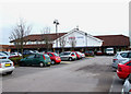
Tesco Express
There is a community centre and various other shops in this area.
Image: © terry joyce
Taken: 22 Nov 2010
0.23 miles