IMAGES TAKEN NEAR TO
Holyoake Terrace, SUNDERLAND, SR6 9PR
Introduction
This page details the photographs taken nearby to Holyoake Terrace, SR6 9PR by members of the Geograph project.
The Geograph project started in 2005 with the aim of publishing, organising and preserving representative images for every square kilometre of Great Britain, Ireland and the Isle of Man.

There are currently over 7.5m images from over14,400 individuals and you can help contribute to the project by visiting https://www.geograph.org.uk
Image Map
Images are licensed for reuse under creativecommons.org/licenses/by-sa/2.0
Notes
- Clicking on the map will re-center to the selected point.
- The higher the marker number, the further away the image location is from the centre of the postcode.
Image Listing (92 Images Found)
Images are licensed for reuse under creativecommons.org/licenses/by-sa/2.0
Image
Details
Distance
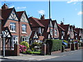
2
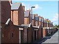
Rear of houses in Side Cliff Road, SR6
The fronts of these houses are shown in Image
Image: © Mike Quinn
Taken: 7 Aug 2014
0.03 miles
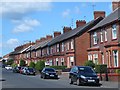
6
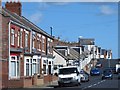
Mere Knolls Road, SR6 (3)
Shows the location of Image
Image: © Mike Quinn
Taken: 7 Aug 2014
0.05 miles
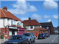
8
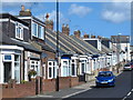
Mere Knolls Road, SR6 (2)
Shows the location of Image
Image: © Mike Quinn
Taken: 7 Aug 2014
0.06 miles
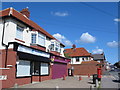
9
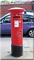
Edward VIII postbox, Mere Knolls Road, SR6
Image: © Mike Quinn
Taken: 7 Aug 2014
0.06 miles
10
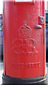
Edward VIII postbox, Mere Knolls Road, SR6 - royal cipher
See Image
Image: © Mike Quinn
Taken: 7 Aug 2014
0.06 miles