IMAGES TAKEN NEAR TO
The Oval, SUNDERLAND, SR5 1SD
Introduction
This page details the photographs taken nearby to The Oval, SR5 1SD by members of the Geograph project.
The Geograph project started in 2005 with the aim of publishing, organising and preserving representative images for every square kilometre of Great Britain, Ireland and the Isle of Man.

There are currently over 7.5m images from over14,400 individuals and you can help contribute to the project by visiting https://www.geograph.org.uk
Image Map
Images are licensed for reuse under creativecommons.org/licenses/by-sa/2.0
Notes
- Clicking on the map will re-center to the selected point.
- The higher the marker number, the further away the image location is from the centre of the postcode.
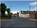
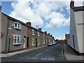
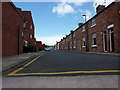
Image Listing (25 Images Found)
Images are licensed for reuse under creativecommons.org/licenses/by-sa/2.0
Image
Details
Distance
6
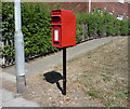
Elizabeth II postbox on Southwick Road, Sunderland
Image: © JThomas
Taken: 7 Jul 2018
0.12 miles
7
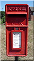
Close up, Elizabeth II postbox on Southwick Road, Sunderland
Postbox No. SR5 4.
See Image] for wider view.
Image: © JThomas
Taken: 7 Jul 2018
0.12 miles
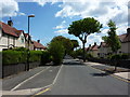
8
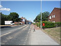
Southwick Road (B1291), Sunderland
Showing position of Postbox No. SR5 4.
See Image] for postbox.
Image: © JThomas
Taken: 7 Jul 2018
0.12 miles
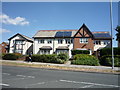
9
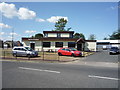
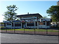
The Italian Kitchen, Sunderland
Italian restaurant on Thompson Road.
Image: © JThomas
Taken: 7 Jul 2018
0.17 miles