
IMAGES TAKEN NEAR TO
Orchard Gardens, FORDINGBRIDGE, SP6 1BG
Introduction
This page details the photographs taken nearby to Orchard Gardens, SP6 1BG by members of the Geograph project.
The Geograph project started in 2005 with the aim of publishing, organising and preserving representative images for every square kilometre of Great Britain, Ireland and the Isle of Man.

There are currently over 7.5m images from over14,400 individuals and you can help contribute to the project by visiting https://www.geograph.org.uk
Image Map
Images are licensed for reuse under creativecommons.org/licenses/by-sa/2.0
Notes
- Clicking on the map will re-center to the selected point.
- The higher the marker number, the further away the image location is from the centre of the postcode.
Image Listing (269 Images Found)
Images are licensed for reuse under creativecommons.org/licenses/by-sa/2.0
Image
Details
Distance
1
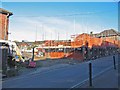
New Housing under construction
This was formerly the site of Nicklens Garage.
Image: © Clive Perrin
Taken: 14 Nov 2005
0.03 miles
2
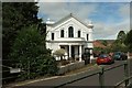
Methodist Church, Fordingbridge
Also shown in http://www.geograph.org.uk/search.php?i=64930861 , and seen here from the bridge over the Ashford Water on West Street.
Image: © Derek Harper
Taken: 16 Jul 2016
0.04 miles
3
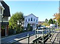
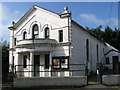
Fordingbridge Methodist Church
On West Street, seen from Dyers Bridge.
Image: © Mike Faherty
Taken: 22 Oct 2011
0.04 miles
4
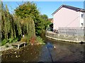
Fordingbridge, stream confluence
Left, Sweatfords Water, right, Ashford Water; the stream flows into the Avon just to the South.
Image: © Mike Faherty
Taken: 22 Oct 2011
0.04 miles
5
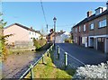
Fordingbridge, Provost Bridge
Carrying Provost Street across Ashford and Sweatfords Water.
Image: © Mike Faherty
Taken: 22 Oct 2011
0.04 miles
8
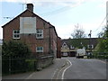
Fordingbridge: crossing Knowles Bridge
Provost Street becomes Church Street as it crosses a minor tributary of the River Avon. The remains of a painted sign on the left-hand house tell us that it was once a shop.
Image: © Chris Downer
Taken: 18 May 2013
0.05 miles
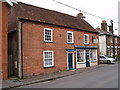
10

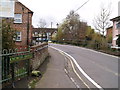
Provost Street, Fordingbridge
A reverse view of Image], again with the pair of listed houses https://www.historicengland.org.uk/listing/the-list/list-entry/1350962 . Just past the van, the road (the B3108) crosses the Ashford Water.
Image: © Derek Harper
Taken: 16 Jul 2016
0.05 miles