
IMAGES TAKEN NEAR TO
Tuckingmill, SALISBURY, SP3 6JF
Introduction
This page details the photographs taken nearby to Tuckingmill, SP3 6JF by members of the Geograph project.
The Geograph project started in 2005 with the aim of publishing, organising and preserving representative images for every square kilometre of Great Britain, Ireland and the Isle of Man.

There are currently over 7.5m images from over14,400 individuals and you can help contribute to the project by visiting https://www.geograph.org.uk
Image Map
Images are licensed for reuse under creativecommons.org/licenses/by-sa/2.0
Notes
- Clicking on the map will re-center to the selected point.
- The higher the marker number, the further away the image location is from the centre of the postcode.
Image Listing (7 Images Found)
Images are licensed for reuse under creativecommons.org/licenses/by-sa/2.0
Image
Details
Distance
1
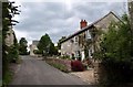
Vicarage Road, Tisbury
A lane lined with attractive old cottages climbing from the Oddford Brook to the junction shown in Image
Image: © Derek Harper
Taken: 9 Jul 2009
0.01 miles
2
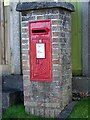
George VI postbox, Tisbury
This box is in the hamlet of Tuckingmill, now a part of Tisbury.
Image: © Maigheach-gheal
Taken: 21 Oct 2008
0.03 miles
3
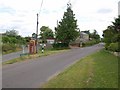
Junction at Tuckingmill
Vicarage Road veers off to the left from the road arriving from Newtown, but although it is the shorter route to the centre of Tisbury, traffic is directed along Monmouth Road to the right, the less narrow route.
Image: © Derek Harper
Taken: 9 Jul 2009
0.07 miles
4

Electricity Sub Station, Tuckingmill
Image: © Maigheach-gheal
Taken: 9 Mar 2007
0.19 miles
5
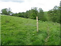
Footpath junction, Tuckingmill
The footpath divides at this point. Branch off right to drop down to the Oddford Brook and continue straight ahead for Lawn Farm.
Image: © Maigheach-gheal
Taken: 12 May 2011
0.20 miles
6
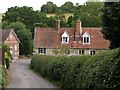
Tuckingmill Farmhouse
The C18 farmhouse on the right is now divided in two. It sits in the valley of Oddford Brook, west of the centre of Tisbury. "Ceased to be a farmhouse 1959" http://www.imagesofengland.org.uk/Details/Default.aspx?id=321097&mode=adv . "A noticeable use of brick for the non-conformist chapel {on the left} contrasts with the dressed limestone of the remaining buildings." http://www.salisbury.gov.uk/tisbury_caa.pdf
Image: © Derek Harper
Taken: 9 Jul 2009
0.22 miles
7
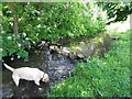
Oddford Brook, Tisbury
Looking upstream.
Image: © Maigheach-gheal
Taken: 23 Jun 2011
0.22 miles