IMAGES TAKEN NEAR TO
Cecil Avenue, SOUTHAMPTON, SO40 7BG
Introduction
This page details the photographs taken nearby to Cecil Avenue, SO40 7BG by members of the Geograph project.
The Geograph project started in 2005 with the aim of publishing, organising and preserving representative images for every square kilometre of Great Britain, Ireland and the Isle of Man.

There are currently over 7.5m images from over14,400 individuals and you can help contribute to the project by visiting https://www.geograph.org.uk
Image Map
Images are licensed for reuse under creativecommons.org/licenses/by-sa/2.0
Notes
- Clicking on the map will re-center to the selected point.
- The higher the marker number, the further away the image location is from the centre of the postcode.
Image Listing (14 Images Found)
Images are licensed for reuse under creativecommons.org/licenses/by-sa/2.0
Image
Details
Distance
5
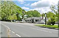
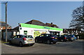
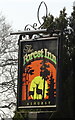
Ashurst, Forest Inn
On Lyndhurst Road (A35). A single-storey building, with back bar, drinking area to front and restaurant left; darts, open fire and background music. Cask ales on offer at my visit: Otter Amber, Ringwood Best & Fortyniner, Sharp's Doom Bar. http://www.forest-inn.co.uk/
Image: © Mike Faherty
Taken: 12 May 2015
0.10 miles
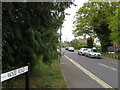
7
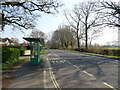
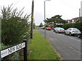
Bus stop and shelter on Lyndhurst Road (A35)
Image: © JThomas
Taken: 25 Mar 2022
0.13 miles
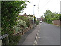
8
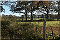
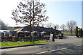
Fields south of Lyndhurst Road, Ashurst
Image: © David Martin
Taken: 21 Nov 2021
0.13 miles