IMAGES TAKEN NEAR TO
West End Road, SOUTHAMPTON, SO18 3BW
Introduction
This page details the photographs taken nearby to West End Road, SO18 3BW by members of the Geograph project.
The Geograph project started in 2005 with the aim of publishing, organising and preserving representative images for every square kilometre of Great Britain, Ireland and the Isle of Man.

There are currently over 7.5m images from over14,400 individuals and you can help contribute to the project by visiting https://www.geograph.org.uk
Image Map
Images are licensed for reuse under creativecommons.org/licenses/by-sa/2.0
Notes
- Clicking on the map will re-center to the selected point.
- The higher the marker number, the further away the image location is from the centre of the postcode.
Image Listing (11 Images Found)
Images are licensed for reuse under creativecommons.org/licenses/by-sa/2.0
Image
Details
Distance
1
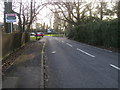
Chalk Hill
Chalk Hill junction with West End Road
Image: © Shaun Ferguson
Taken: 30 Jan 2013
0.07 miles


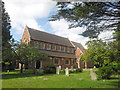
10
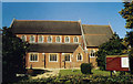
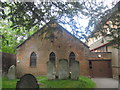
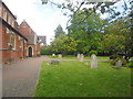
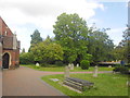
St James, West End
Grade 2 listed building erected in 1890.
Image: © Michael FORD
Taken: Unknown
0.24 miles