IMAGES TAKEN NEAR TO
Cumbrian Way, SOUTHAMPTON, SO16 4BH
Introduction
This page details the photographs taken nearby to Cumbrian Way, SO16 4BH by members of the Geograph project.
The Geograph project started in 2005 with the aim of publishing, organising and preserving representative images for every square kilometre of Great Britain, Ireland and the Isle of Man.

There are currently over 7.5m images from over14,400 individuals and you can help contribute to the project by visiting https://www.geograph.org.uk
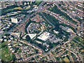
Image Map
Images are licensed for reuse under creativecommons.org/licenses/by-sa/2.0
Notes
- Clicking on the map will re-center to the selected point.
- The higher the marker number, the further away the image location is from the centre of the postcode.
Image Listing (16 Images Found)
Images are licensed for reuse under creativecommons.org/licenses/by-sa/2.0
Image
Details
Distance
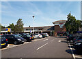
2
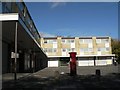
Millbrook: postbox № SO16 572 and shops, Cumbrian Way
The post office is housed within the green shop in the background.
Image: © Chris Downer
Taken: 18 Oct 2008
0.11 miles
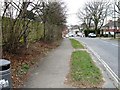
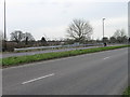
10
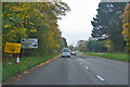
A35 Tebourba Way
Heading west towards Totton.
Image: © Robin Webster
Taken: 13 Nov 2022
0.19 miles