
IMAGES TAKEN NEAR TO
Hannington, SWINDON, SN6 7SY
Introduction
This page details the photographs taken nearby to SN6 7SY by members of the Geograph project.
The Geograph project started in 2005 with the aim of publishing, organising and preserving representative images for every square kilometre of Great Britain, Ireland and the Isle of Man.

There are currently over 7.5m images from over14,400 individuals and you can help contribute to the project by visiting https://www.geograph.org.uk
Image Map
Images are licensed for reuse under creativecommons.org/licenses/by-sa/2.0
Notes
- Clicking on the map will re-center to the selected point.
- The higher the marker number, the further away the image location is from the centre of the postcode.
Image Listing (21 Images Found)
Images are licensed for reuse under creativecommons.org/licenses/by-sa/2.0
Image
Details
Distance
2

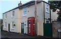
Telephone box in Hannington
A K6 telephone box is situated next to its own telegraph pole. It is seen in context here http://www.geograph.org.uk/photo/1130141
Image: © Brian Robert Marshall
Taken: 22 Jan 2009
0.09 miles
4
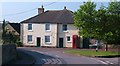
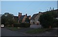
House on the corner
Village house and telephone kiosk by the junction in Hannington. To the left is the road to Highworth and to the right the road to Castle Eaton.
Image: © Gordon Hatton
Taken: 3 Jun 2010
0.10 miles
5
Turning to Hannington Wick and Kempsford
In Hannington.
Image: © andrew auger
Taken: 1 Nov 2009
0.10 miles
6

Queens Road, Hannington
The road leads away from the viewpoint. It joins the Blunsdon to Highworth Road at Swanborough near this pub http://www.geograph.org.uk/photo/245721
Image: © Brian Robert Marshall
Taken: 22 Jan 2009
0.10 miles
8
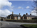
Hannington school buildings
Now converted into several dwellings.
Image: © Jonathan Billinger
Taken: 7 Mar 2007
0.13 miles
9
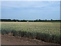
Hannington from the south-west
I don't know what the tall building is on the left - it is not marked on the OS map.
Image: © Vieve Forward
Taken: 1 Jul 2018
0.13 miles
10
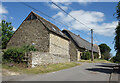
Stone Buildings in Hannington
At the top of Nell Hill.
Image: © Des Blenkinsopp
Taken: 20 Jun 2022
0.14 miles