
IMAGES TAKEN NEAR TO
Arran Way, SWINDON, SN6 7HW
Introduction
This page details the photographs taken nearby to Arran Way, SN6 7HW by members of the Geograph project.
The Geograph project started in 2005 with the aim of publishing, organising and preserving representative images for every square kilometre of Great Britain, Ireland and the Isle of Man.

There are currently over 7.5m images from over14,400 individuals and you can help contribute to the project by visiting https://www.geograph.org.uk
Image Map
Images are licensed for reuse under creativecommons.org/licenses/by-sa/2.0
Notes
- Clicking on the map will re-center to the selected point.
- The higher the marker number, the further away the image location is from the centre of the postcode.
Image Listing (13 Images Found)
Images are licensed for reuse under creativecommons.org/licenses/by-sa/2.0
Image
Details
Distance
1
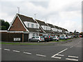
Arran Way leading to Kilda Road and Skye Close
Off St Michael's Avenue, Highworth
Image: © Nick Smith
Taken: 24 Sep 2011
0.01 miles
2
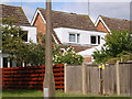
Housing from 70s
There are a range of different housing types in this area, but this shows one of the types, and the concrete lamppost.
Image: © Michael Wright
Taken: 12 May 2007
0.07 miles
3
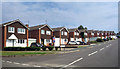
Islay Crescent, Highworth
Leading to Bute Close, with Arran Way, Kilda Road and Skye Close nearby, round the corner from Lismore Road. We are in the Scottish Islands part of town.
Image: © Des Blenkinsopp
Taken: 8 Aug 2020
0.08 miles
4
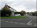
Stroma Way leading to Lismore Road, Highworth
Image: © Nick Smith
Taken: 24 Sep 2011
0.08 miles
5
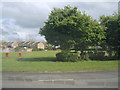
Planned open space in estate
Of course I remember when this was all builders rubble that they landscaped to produce this open area. It was prone to flooding, being at the bottom of Highworth hill. However the trees show the maturity of the housing.
Image: © Michael Wright
Taken: 12 May 2007
0.09 miles
6
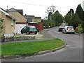
Pound Road off St Michael's Avenue, Highworth
It's not obvious where St Michael's Avenue becomes Grove Hill from the map, so this might be off the latter!
Image: © Nick Smith
Taken: 24 Sep 2011
0.11 miles
8
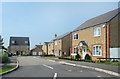
Fitzgerold Avenue, Highworth
A new residential development on the north side of town.
Image: © Des Blenkinsopp
Taken: 8 Aug 2020
0.17 miles
9
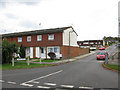
Home Farm off St Michael's Avenue, Swindon
Image: © Nick Smith
Taken: 24 Sep 2011
0.17 miles
10
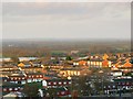
Home Farm, Highworth, Swindon
This view from the town's cemetery shows the main housing area of the small market town of Highworth. The area was developed in the 1960s as a mix of private and local authority houses. The image was obtained as the winter sun was starting to set.
Image: © Brian Robert Marshall
Taken: 29 Nov 2007
0.17 miles