
IMAGES TAKEN NEAR TO
Parsonage Farm Close, SWINDON, SN6 6NA
Introduction
This page details the photographs taken nearby to Parsonage Farm Close, SN6 6NA by members of the Geograph project.
The Geograph project started in 2005 with the aim of publishing, organising and preserving representative images for every square kilometre of Great Britain, Ireland and the Isle of Man.

There are currently over 7.5m images from over14,400 individuals and you can help contribute to the project by visiting https://www.geograph.org.uk
Image Map
Images are licensed for reuse under creativecommons.org/licenses/by-sa/2.0
Notes
- Clicking on the map will re-center to the selected point.
- The higher the marker number, the further away the image location is from the centre of the postcode.
Image Listing (336 Images Found)
Images are licensed for reuse under creativecommons.org/licenses/by-sa/2.0
Image
Details
Distance
1
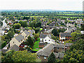
View south from St Sampson's tower, Cricklade
The view shows mostly fairly recent housing south of the church. The road at the left is the B4553 road to Purton.
Image: © Brian Robert Marshall
Taken: 6 Sep 2009
0.02 miles
2
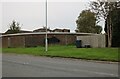
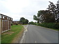
Common Hill, Cricklade
The wall is the back of a block of garages.
Image: © David Howard
Taken: 13 Oct 2024
0.03 miles
3
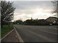
A road junction in Cricklade, Wiltshire
Junction of the B4040 and Hopkin's Orchard.
Image: © James Denham
Taken: 12 Jan 2012
0.04 miles
4
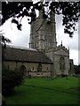
Cricklade St Sampson, Wiltshire
One of England's most unusual church towers.
Image: © ChurchCrawler
Taken: 30 Aug 2004
0.04 miles
6
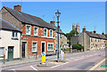
High Street
High Street in Crickalde.
Image: © Wayland Smith
Taken: 25 May 2020
0.05 miles
7
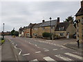
South end of High Street, Cricklade, Wiltshire
Image: © Jeff Gogarty
Taken: 9 Aug 2020
0.05 miles
9
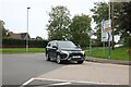
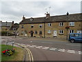
Common Hill at the junction of High Street, Cricklade
Image: © David Howard
Taken: 13 Oct 2024
0.06 miles
10
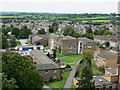
View south-west from St Sampson's tower, Cricklade
The view here shows what is probably local authority housing south-west of the church.
Image: © Brian Robert Marshall
Taken: 6 Sep 2009
0.06 miles