
IMAGES TAKEN NEAR TO
Beverley, SWINDON, SN5 8BH
Introduction
This page details the photographs taken nearby to Beverley, SN5 8BH by members of the Geograph project.
The Geograph project started in 2005 with the aim of publishing, organising and preserving representative images for every square kilometre of Great Britain, Ireland and the Isle of Man.

There are currently over 7.5m images from over14,400 individuals and you can help contribute to the project by visiting https://www.geograph.org.uk
Image Map
Images are licensed for reuse under creativecommons.org/licenses/by-sa/2.0
Notes
- Clicking on the map will re-center to the selected point.
- The higher the marker number, the further away the image location is from the centre of the postcode.
Image Listing (18 Images Found)
Images are licensed for reuse under creativecommons.org/licenses/by-sa/2.0
Image
Details
Distance
1
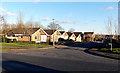
Beverley bungalows, Swindon
Beverley is a residential cul-de-sac, viewed from Flint Hill.
Image: © Jaggery
Taken: 2 Feb 2013
0.03 miles
2
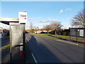
Flint Hill bus shelters, Swindon
Located in the Toothill district in southern Swindon.
Image: © Jaggery
Taken: 2 Feb 2013
0.09 miles
3
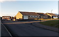
A short side arm of White Castle, Toothill, Swindon
The bungalows are on the eastern side of the main course of White Castle.
The Toothill area is in the south of Swindon.
Image: © Jaggery
Taken: 2 Feb 2013
0.13 miles
4
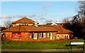
The Village Tavern, Toothill, Swindon
Viewed from the corner of Flint Hill and Stokesay Drive.
Image: © Jaggery
Taken: 2 Feb 2013
0.14 miles
5
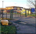
School entrance gate, Toothill, Swindon
Viewed from Stokesay Drive. The name board shows Toothill Primary School and Nursery.
Image: © Jaggery
Taken: 2 Feb 2013
0.14 miles
6
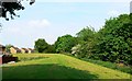
Linear park, near Tattershall, Toothill, Swindon
This is view east. The landscaping provides a buffer between the southern edge of the 1970s estate of Toothill and Great Western Way, hidden by the trees on the right. The houses on the left are in Bodiam Drive.
Image: © Brian Robert Marshall
Taken: 11 May 2008
0.15 miles
7
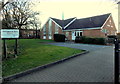
Toothill Church, Swindon
Viewed from Dunwich Drive. The nameboard shows that the church is multidenominational (Anglican, Baptist, Methodist, and United Reformed Church).
Image: © Jaggery
Taken: 2 Feb 2013
0.16 miles
8
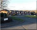
Icomb Close, Toothill, Swindon
Viewed from the corner of Harlech Close.
Image: © Jaggery
Taken: 2 Feb 2013
0.17 miles
9
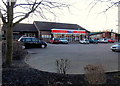
One Stop shop, Toothill Village Centre, Swindon
Viewed from the Dunwich Drive side.
Image: © Jaggery
Taken: 2 Feb 2013
0.17 miles
10
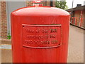
Toothill: postbox plaque
A plaque affixed to the rear of Image, stating that it was one of the first castings of the 'Type K' pillar box.
Image: © Chris Downer
Taken: 1 Jun 2010
0.17 miles