
IMAGES TAKEN NEAR TO
Showfield, SWINDON, SN4 7HY
Introduction
This page details the photographs taken nearby to Showfield, SN4 7HY by members of the Geograph project.
The Geograph project started in 2005 with the aim of publishing, organising and preserving representative images for every square kilometre of Great Britain, Ireland and the Isle of Man.

There are currently over 7.5m images from over14,400 individuals and you can help contribute to the project by visiting https://www.geograph.org.uk
Image Map
Images are licensed for reuse under creativecommons.org/licenses/by-sa/2.0
Notes
- Clicking on the map will re-center to the selected point.
- The higher the marker number, the further away the image location is from the centre of the postcode.
Image Listing (24 Images Found)
Images are licensed for reuse under creativecommons.org/licenses/by-sa/2.0
Image
Details
Distance
1
Royal Wootton Bassett Academy
A mixed secondary school and sixth form for students aged 11 to 18. http://www.rwba.org.uk/
Image: © Vieve Forward
Taken: 3 Jan 2016
0.11 miles
2
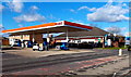
Esso filling station and Spar shop, Royal Wootton Bassett
Located alongside the A3102 in the north of Royal Wootton Bassett.
Image: © Jaggery
Taken: 2 Feb 2013
0.16 miles
3
Esso filling station in royal Wootton Bassett
Image: © David Smith
Taken: 18 Oct 2012
0.16 miles
4
High Street out of Royal Wootton Bassett
Image: © Steve Daniels
Taken: 25 Jun 2014
0.17 miles
5
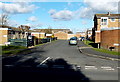
67-83 Lime Kiln, Royal Wootton Bassett
There are several arms to the residential area of housing in Lime Kiln, on the NW side of High Street.
The street name signs show that houses with addresses 67-83 Lime Kiln are in this arm.
Image: © Jaggery
Taken: 2 Feb 2013
0.18 miles
6
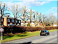
End of the 30mph speed limit in Royal Wootton Bassett
Viewed across the A3102. The 30mph speed limit in Royal Wootton Bassett increases to 40mph.
The row of trees have had their tops lopped off - a severe "haircut" !
Image: © Jaggery
Taken: 2 Feb 2013
0.19 miles
7
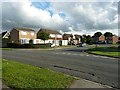
Laburnam Drive viewed across Maple Drive
Having left Jubilee Park by a different path from the one near the car park where I'd entered, I then found myself lost on a housing estate.
Image: © Penny Mayes
Taken: 5 Oct 2013
0.20 miles
8
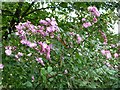
Dogroses on the edge of Jubilee Park
Beside the path running behind houses on Sorrel Close.
Image: © Penny Mayes
Taken: 5 Oct 2013
0.20 miles
9
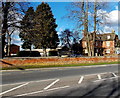
Lime Kiln Business Centre, Royal Wootton Bassett
Viewed across the A3102. Lime Kiln Business Centre provides furnished
and serviced offices, meeting rooms and virtual office services.
Image: © Jaggery
Taken: 2 Feb 2013
0.20 miles
10
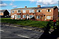
Row of three houses, Lime Kiln, Royal Wootton Bassett
Numbers 84-86 Lime Kiln are near the Sprats Barn Crescent mini-roundabout. http://www.geograph.org.uk/photo/3406904
Image: © Jaggery
Taken: 2 Feb 2013
0.20 miles