
IMAGES TAKEN NEAR TO
The Maltings, SWINDON, SN4 7EZ
Introduction
This page details the photographs taken nearby to The Maltings, SN4 7EZ by members of the Geograph project.
The Geograph project started in 2005 with the aim of publishing, organising and preserving representative images for every square kilometre of Great Britain, Ireland and the Isle of Man.

There are currently over 7.5m images from over14,400 individuals and you can help contribute to the project by visiting https://www.geograph.org.uk
Image Map
Images are licensed for reuse under creativecommons.org/licenses/by-sa/2.0
Notes
- Clicking on the map will re-center to the selected point.
- The higher the marker number, the further away the image location is from the centre of the postcode.
Image Listing (189 Images Found)
Images are licensed for reuse under creativecommons.org/licenses/by-sa/2.0
Image
Details
Distance
1
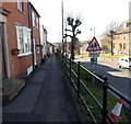
Elevated pavements, High Street, Royal Wootton Bassett
There are railings on both sides of this section of High Street,
where the pavements are a couple of metres above road level.
Image: © Jaggery
Taken: 2 Feb 2013
0.03 miles
2
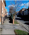
Steps up to the pavement, High Street, Royal Wootton Bassett
For about 70 metres ahead, the pavement on each side of High Street is above road level.
Image: © Jaggery
Taken: 2 Feb 2013
0.04 miles
3
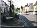
Junction of Beamans Lane on the High Street
Image: © Nick Smith
Taken: 26 Oct 2009
0.04 miles
4
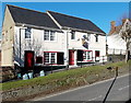
The Phoenix Bar, Royal Wootton Bassett
The bar is at 3-4 High Street.
Image: © Jaggery
Taken: 2 Feb 2013
0.04 miles
5
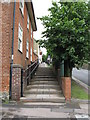
Approach to Wootton Bassett High Street
Steps up the raised bank that forms the pedestrian approach to the High Street from the South.
Image: © Derek Voller
Taken: 22 Jul 2009
0.04 miles
6
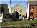
Wootton Bassett Methodist church
At the SW end of the High Street http://www.wbmc.co.uk/where.html
Image: © Nick Smith
Taken: 26 Oct 2009
0.05 miles
8
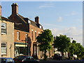
South-west End, Wootton Bassett High Street
Old red brick and stone houses along the tree-lined street as it descends from the town centre. The old street is wide enough (former market) to offer ample parking.
Image: © Colin Smith
Taken: 31 May 2010
0.05 miles
9
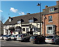
The Waggon & Horses viewed from the east, Royal Wootton Bassett
Viewed across High Street looking towards the corner of Rope Yard.
Image: © Jaggery
Taken: 2 Feb 2013
0.05 miles
10

A3102 descends towards Brinkworth Brook
Image: © Stuart Logan
Taken: 16 May 2012
0.06 miles