IMAGES TAKEN NEAR TO
Ashanti Way, SN26 7BU
Introduction
This page details the photographs taken nearby to Ashanti Way, SN26 7BU by members of the Geograph project.
The Geograph project started in 2005 with the aim of publishing, organising and preserving representative images for every square kilometre of Great Britain, Ireland and the Isle of Man.

There are currently over 7.5m images from over14,400 individuals and you can help contribute to the project by visiting https://www.geograph.org.uk
Image Map
Images are licensed for reuse under creativecommons.org/licenses/by-sa/2.0
Notes
- Clicking on the map will re-center to the selected point.
- The higher the marker number, the further away the image location is from the centre of the postcode.
Image Listing (36 Images Found)
Images are licensed for reuse under creativecommons.org/licenses/by-sa/2.0
Image
Details
Distance
1
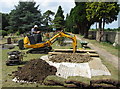
Digging a new grave at Blunsdon Cemetery
The gravedigger goes about his work very professionally and with great care. The grave was being dug for my mother, whose funeral would take place the following day.
Image: © Gareth James
Taken: 14 Jul 2013
0.06 miles
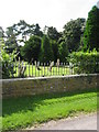
3
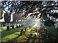
A sunny winter's morning in Blunsdon Cemetery
Image: © Gareth James
Taken: 20 Jan 2020
0.09 miles
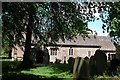
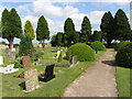
5
Blunsdon cemetery, beside Burytown Lane
Image: © Gareth James
Taken: 23 Aug 2009
0.12 miles
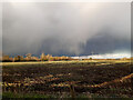
6
Hayfield Wood
Hayfield Wood housing estate in the process of construction.
Image: © Vieve Forward
Taken: 28 Nov 2020
0.13 miles
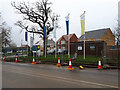
9
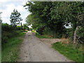
Road to Stubbs Hill, Broad Blunsdon, Swindon
Image: © Jeff Gogarty
Taken: 14 Jul 2020
0.16 miles