
IMAGES TAKEN NEAR TO
Bremilham Rise, MALMESBURY, SN16 0DH
Introduction
This page details the photographs taken nearby to Bremilham Rise, SN16 0DH by members of the Geograph project.
The Geograph project started in 2005 with the aim of publishing, organising and preserving representative images for every square kilometre of Great Britain, Ireland and the Isle of Man.

There are currently over 7.5m images from over14,400 individuals and you can help contribute to the project by visiting https://www.geograph.org.uk
Image Map
Images are licensed for reuse under creativecommons.org/licenses/by-sa/2.0
Notes
- Clicking on the map will re-center to the selected point.
- The higher the marker number, the further away the image location is from the centre of the postcode.
Image Listing (29 Images Found)
Images are licensed for reuse under creativecommons.org/licenses/by-sa/2.0
Image
Details
Distance
1

Dark Lane, Malmesbury
With the west end of the abbey visible on the skyline.
Image: © David Martin
Taken: 6 Jun 2025
0.11 miles
2
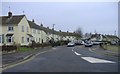
Corn Gastons estate
A 20th century development on the west side of this ancient town.
Image: © Roger Cornfoot
Taken: 1 Jan 2007
0.11 miles
3
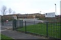
Malmesbury comprehensive school
The external appearance of these new buildings created some local controversy.
Image: © Roger Cornfoot
Taken: 1 Jan 2007
0.11 miles
4
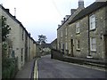
Bristol Street, Malmesbury
This is the main road west towards Sherston and eventually - Bristol.
Image: © Roger Cornfoot
Taken: 1 Jan 2007
0.11 miles
5
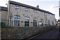
Westport Manor, Gastons Road
This new housing by Causeway Developments is on the site of the Malmesbury School Art Centre which had an Ordnance Survey benchmark levelled at 84.55m above Ordnance Datum Newlyn.
Image: © Roger Templeman
Taken: 17 Dec 2011
0.16 miles
6
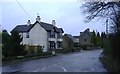
The road from Malmesbury
An Edwardian house stands on the minor road leading south west to Foxley.
Image: © Roger Cornfoot
Taken: 9 Jan 2007
0.16 miles
7

Footpath across rough field leading to Sherston Road
Image: © David Martin
Taken: 6 Jun 2025
0.18 miles
9

Foxley Road, looking up to Bristol Street
Image: © David Martin
Taken: 6 Jun 2025
0.19 miles
10
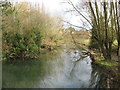
The River Avon in Malmesbury
The Sherston branch of the River Avon looking downstream from Turtle bridge.
Image: © Dr Duncan Pepper
Taken: 12 Jan 2012
0.20 miles