IMAGES TAKEN NEAR TO
Olivemead Lane, CHIPPENHAM, SN15 4JF
Introduction
This page details the photographs taken nearby to Olivemead Lane, SN15 4JF by members of the Geograph project.
The Geograph project started in 2005 with the aim of publishing, organising and preserving representative images for every square kilometre of Great Britain, Ireland and the Isle of Man.

There are currently over 7.5m images from over14,400 individuals and you can help contribute to the project by visiting https://www.geograph.org.uk
Image Map
Images are licensed for reuse under creativecommons.org/licenses/by-sa/2.0
Notes
- Clicking on the map will re-center to the selected point.
- The higher the marker number, the further away the image location is from the centre of the postcode.
Image Listing (7 Images Found)
Images are licensed for reuse under creativecommons.org/licenses/by-sa/2.0
Image
Details
Distance
1
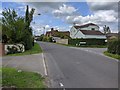
Olivemead Lane, Dauntsey
The lane is seen as it heads towards the centre of Dauntsey. At right is Ferris Farm.
Image: © Brian Robert Marshall
Taken: 17 Mar 2009
0.14 miles
2
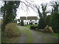
The Whitehouse in Dauntsey
The Whitehouse, with bush.
Image: © Roger Cornfoot
Taken: 28 Dec 2006
0.19 miles
3
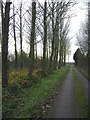
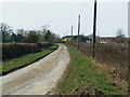
Olivemead lane
This little-used lane from Olivemead farm to Dauntsey looks very quiet. In fact the M4 motorway runs within 2 metres of the left side of this photo!
Image: © Roger Cornfoot
Taken: 28 Dec 2006
0.19 miles
4
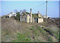
Development opportunity, in Dauntsey
On Brinkworth Road.
Image: © Roger Cornfoot
Taken: 27 Mar 2007
0.20 miles
5
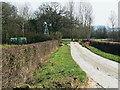
South along Olivemead Lane, Dauntsey
Barely visible in the distance is the M4. The map shows the presence of what is called a lake to the left of the windpump. It seems to be under restoration at the moment and looks more like a bomb crater.
Image: © Brian Robert Marshall
Taken: 17 Mar 2009
0.22 miles