
IMAGES TAKEN NEAR TO
Blackwellhams, CHIPPENHAM, SN15 3GG
Introduction
This page details the photographs taken nearby to Blackwellhams, SN15 3GG by members of the Geograph project.
The Geograph project started in 2005 with the aim of publishing, organising and preserving representative images for every square kilometre of Great Britain, Ireland and the Isle of Man.

There are currently over 7.5m images from over14,400 individuals and you can help contribute to the project by visiting https://www.geograph.org.uk
Image Map
Images are licensed for reuse under creativecommons.org/licenses/by-sa/2.0
Notes
- Clicking on the map will re-center to the selected point.
- The higher the marker number, the further away the image location is from the centre of the postcode.
Image Listing (13 Images Found)
Images are licensed for reuse under creativecommons.org/licenses/by-sa/2.0
Image
Details
Distance
1
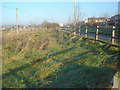
A4 ring road
Looking north approaching the Webbington Road roundabout.
Image: © Trevor Rickard
Taken: 3 Dec 2008
0.06 miles
2
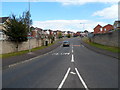
Webbington Road, Chippenham
Viewed from Webbington Roundabout on the A4 Pewsham Way.
Image: © Jaggery
Taken: 14 Sep 2012
0.06 miles
3
Roundabout on Pewsham Way, Chippenham
This is the unmentioned Pewsham bypass unwitting visitors like me are sent on avoiding the direct route into Chippenham from the A4.
Image: © David Howard
Taken: 24 Apr 2016
0.07 miles
4
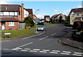
Rumble Dene, Chippenham
Viewed from Webbington Road.
Image: © Jaggery
Taken: 14 Sep 2012
0.12 miles
5
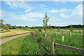
Cycleway past Pewsham Wood
Pewsham Wood consists of newly planted trees.
Image: © Des Blenkinsopp
Taken: 2 Jun 2021
0.14 miles
6
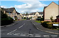
Chivers Road, Chippenham
Viewed from Webbington Road. Chivers Road leads to Rowe Mead.
Image: © Jaggery
Taken: 14 Sep 2012
0.16 miles
7
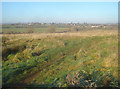
Common land west of the A4
Rough land between the main road and the river, crossed by a few dog-walking paths. The river Avon is at the bottom of the hill with the bridge just visible on the right.
Image: © Trevor Rickard
Taken: 3 Dec 2008
0.17 miles
8
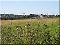
View towards Chippenham town centre
This view is from the meadows adjacent to the River Avon looking towards Chippenham town centre.
Image: © Doug Lee
Taken: 15 Jul 2006
0.17 miles
9
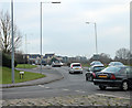
2011 : A4 Pewsham Way, Chippenham bypass
Looking east.
Waste of time making it look pretty, it isn't.
This part of the bypass takes the A4 round a large housing estate east of Chippenham.
Image: © Maurice Pullin
Taken: 21 Jan 2011
0.21 miles
10
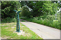
National Cycle Network, Route 4
One of the trademark metal signposts to be found along Sustrans cycle routes.
However, this one is misleading. The right hand pointer says Lacock 3, which may well be correct, but you can't get there without lifting your bike over several stiles at the far end, which isn't really my definition of a cycleway.
It's quite a nice route until you get to the place shown here Image
Image: © Des Blenkinsopp
Taken: 2 Jun 2021
0.23 miles