
IMAGES TAKEN NEAR TO
North Wraxall, CHIPPENHAM, SN14 7PQ
Introduction
This page details the photographs taken nearby to SN14 7PQ by members of the Geograph project.
The Geograph project started in 2005 with the aim of publishing, organising and preserving representative images for every square kilometre of Great Britain, Ireland and the Isle of Man.

There are currently over 7.5m images from over14,400 individuals and you can help contribute to the project by visiting https://www.geograph.org.uk
Image Map
Images are licensed for reuse under creativecommons.org/licenses/by-sa/2.0
Notes
- Clicking on the map will re-center to the selected point.
- The higher the marker number, the further away the image location is from the centre of the postcode.
Image Listing (8 Images Found)
Images are licensed for reuse under creativecommons.org/licenses/by-sa/2.0
Image
Details
Distance
1
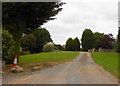
Entrance to Fosse Barn
Fosse Barn was an old working farm that has been split into two large residences neither of which is a working farm any longer. This is the drive to the northernmost of the two properties.
Image: © Nigel Mykura
Taken: 16 Sep 2012
0.05 miles
2
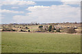
View towards West Kington Wick
The image is taken from the road which follows the line of the old Roman Road The Fosse Way. Given the proximity to the major Roman thoroughfare I would presume that the "Wick" in the name is derived from the old Roman "Vicus" and that there was a settlement here in Roman times.
Image: © Doug Lee
Taken: 31 Mar 2013
0.11 miles
3
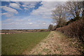
Fields beside the Fosse Way
The hedgerow to the right of this image separates these fields from the minor road that follows the line of the Roman road The Fosse Way.
Image: © Doug Lee
Taken: 31 Mar 2013
0.11 miles
4
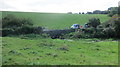
Stream, bridge and repair crew at work
Image: © Dr Duncan Pepper
Taken: 30 Sep 2016
0.19 miles
5
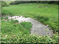
Broadmead Brook south of Nettleton Shrub
The Romans built several structures around Nettleton and here the small stream, which may have attracted them, runs down from Wick Wood to flow under The Fosse Way.
Image: © Stuart Logan
Taken: 15 May 2011
0.19 miles
6
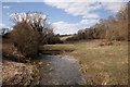
Broadmead Brook
To the right of the image a bridleway that runs just this side of the trees.
Image: © Doug Lee
Taken: 31 Mar 2013
0.20 miles
7
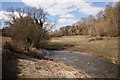
Broadmead Brook
To the right of the image a bridleway that runs just this side of the trees.
Image: © Doug Lee
Taken: 31 Mar 2013
0.20 miles
8
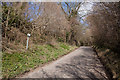
The Fosse Way
The sign to the left of the image says "Protected Verge".
Image: © Doug Lee
Taken: 31 Mar 2013
0.24 miles