
IMAGES TAKEN NEAR TO
Corsham Road, MELKSHAM, SN12 8EH
Introduction
This page details the photographs taken nearby to Corsham Road, SN12 8EH by members of the Geograph project.
The Geograph project started in 2005 with the aim of publishing, organising and preserving representative images for every square kilometre of Great Britain, Ireland and the Isle of Man.

There are currently over 7.5m images from over14,400 individuals and you can help contribute to the project by visiting https://www.geograph.org.uk
Image Map
Images are licensed for reuse under creativecommons.org/licenses/by-sa/2.0
Notes
- Clicking on the map will re-center to the selected point.
- The higher the marker number, the further away the image location is from the centre of the postcode.
Image Listing (46 Images Found)
Images are licensed for reuse under creativecommons.org/licenses/by-sa/2.0
Image
Details
Distance
1
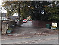
Royal Mail van outside Mavern House Nursing Home, Shaw
Set back from the B3353 Corsham Road.
Image: © Jaggery
Taken: 3 Nov 2014
0.02 miles
2
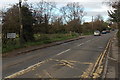
Southern boundary of Whitley, Wiltshire
The B3353 Corsham Road from Shaw passes the Whitley boundary sign.
Image: © Jaggery
Taken: 3 Nov 2014
0.02 miles
3
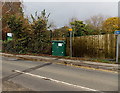
Wessex Water CSO (combined sewer overflow), Shaw
The cabinet is at the side of Corsham Road, near the entrance to the village school's car park. http://www.geograph.org.uk/photo/4239946
The Wessex Water website states that combined sewers transport waste water from homes and industry as well as carrying surface water from gutters, drains and some highways. Heavy or prolonged rainfall can rapidly increase the flow in a combined sewer until the amount of water exceeds sewer capacity.
CSOs act as relief valves letting excess storm water be released to rivers or the sea. This helps protect properties from flooding and prevents sewage backing up into streets and homes during heavy rainfall.
Image: © Jaggery
Taken: 3 Nov 2014
0.03 miles
4
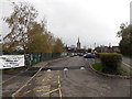
School car park, Shaw
At the northern edge of Shaw C of E Primary School. http://www.geograph.org.uk/photo/4239561
Image: © Jaggery
Taken: 3 Nov 2014
0.04 miles
5

2008 : Local Recycling Centre
A very useful and obviously much used facility half way between Shaw and Whitley. Probably appreciated by people from Atworth as well.
Most banks seem to be going over to plastic nowadays.
Image: © Maurice Pullin
Taken: 4 Feb 2008
0.04 miles
6
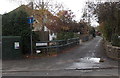
School Lane, Shaw
Opposite the village school, http://www.geograph.org.uk/photo/4239561 School Lane heads west away from the B3353 Corsham Road.
A sign shows that this is not a through route.
Image: © Jaggery
Taken: 3 Nov 2014
0.05 miles
7
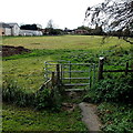
Kissing gate to a public footpath, Whitley
On the west side of the B3353 Corsham Road.
Image: © Jaggery
Taken: 3 Nov 2014
0.05 miles
8
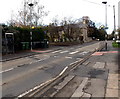
Zebra crossing, Corsham Road, Shaw
Located opposite the village primary school. http://www.geograph.org.uk/photo/4239561
Although Belisha beacons had marked pedestrian crossings in the UK from 1934, it was not until 1951 that the now familiar black and white stripes stretching across the width of the road were officially introduced. Previously, there were only metal studs across the road surface.
Image: © Jaggery
Taken: 3 Nov 2014
0.06 miles
9
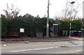
Bench and silver phonebox, Shaw
On the Corsham Road pavement opposite the village primary school. http://www.geograph.org.uk/photo/4239561
Also in view are a Melksham Without Parish Council noticeboard, litter bin,
telecoms cabinet, telephone pole, Belisha beacon and many wheelie bins.
Image: © Jaggery
Taken: 3 Nov 2014
0.06 miles
10
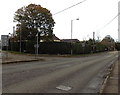
Corsham Road, Shaw
The B3353 for Whitley, Gastard and Corsham diverges from the A365 Bath Road.
Image: © Jaggery
Taken: 3 Nov 2014
0.06 miles