
IMAGES TAKEN NEAR TO
Milford Street, SWINDON, SN1 1HL
Introduction
This page details the photographs taken nearby to Milford Street, SN1 1HL by members of the Geograph project.
The Geograph project started in 2005 with the aim of publishing, organising and preserving representative images for every square kilometre of Great Britain, Ireland and the Isle of Man.

There are currently over 7.5m images from over14,400 individuals and you can help contribute to the project by visiting https://www.geograph.org.uk
Image Map
Images are licensed for reuse under creativecommons.org/licenses/by-sa/2.0
Notes
- Clicking on the map will re-center to the selected point.
- The higher the marker number, the further away the image location is from the centre of the postcode.
Image Listing (662 Images Found)
Images are licensed for reuse under creativecommons.org/licenses/by-sa/2.0
Image
Details
Distance
1

Station Square, Swindon
Station Square is a five storey office building on the corners of Wellington Street, Milford Street and Gloucester Street.
Image: © Jaggery
Taken: 14 Apr 2013
0.00 miles
2
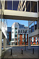
Under the bridge to Milford Street
An area of modern office buildings between the bus and train stations.
Image: © Des Blenkinsopp
Taken: 19 Jan 2020
0.01 miles
3
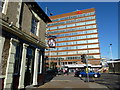
Corner and the Queen's Tap pub, with the station building in the background
Image: © Ruth Sharville
Taken: 19 Oct 2010
0.02 miles
4
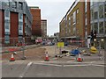
Wellington Street
View along Wellington Street in the direction of the station
Image: © Bill Nicholls
Taken: 16 Mar 2019
0.02 miles
5
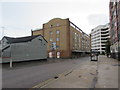
Wellington Street, Swindon
Wellington Street extends from Station Road near Swindon railway station
to the junction with Manchester Road and Milford Street in the distance.
Image: © Jaggery
Taken: 3 Sep 2017
0.02 miles
6
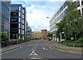
Offices in Milford Street
An old street dating from Victorian times, which is now faced on both sides with modern offices. It is very near to both railway and bus stations.
Image: © P L Chadwick
Taken: 15 Aug 2010
0.02 miles
8
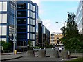
Milford Street, Swindon
Milford Street as it was in 1967 can be seen in this image by Gordon Hatton http://www.geograph.org.uk/photo/862450 where Milford Street can be seen to comprise Victorian commercial development, cleared away in the 1980s or 90s to make way for modern offices. The brick building in the background contains modern flats used to provide housing for key workers such as police officers and teachers.
Image: © Brian Robert Marshall
Taken: 13 Jul 2008
0.02 miles
9
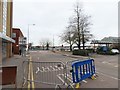
Bus Station on the right
Manchester Street with Swindon Bus Station on the right
Image: © Bill Nicholls
Taken: 16 Mar 2019
0.02 miles
10
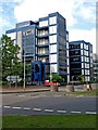
Milford House, Milford Street
A very large office block, with its main frontage to Milford Street.
Image: © P L Chadwick
Taken: 15 Aug 2010
0.03 miles