IMAGES TAKEN NEAR TO
Morris Close, GERRARDS CROSS, SL9 0AR
Introduction
This page details the photographs taken nearby to Morris Close, SL9 0AR by members of the Geograph project.
The Geograph project started in 2005 with the aim of publishing, organising and preserving representative images for every square kilometre of Great Britain, Ireland and the Isle of Man.

There are currently over 7.5m images from over14,400 individuals and you can help contribute to the project by visiting https://www.geograph.org.uk
Image Map
Images are licensed for reuse under creativecommons.org/licenses/by-sa/2.0
Notes
- Clicking on the map will re-center to the selected point.
- The higher the marker number, the further away the image location is from the centre of the postcode.
Image Listing (26 Images Found)
Images are licensed for reuse under creativecommons.org/licenses/by-sa/2.0
Image
Details
Distance
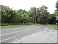
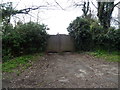
3
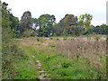
Field edge footpath, Chalfont St. Peter
This makes an end-on junction with the private residential road Upway beyond the trees ahead, and continues along it to Joiners Lane.
Image: © Robin Webster
Taken: 21 Sep 2014
0.10 miles
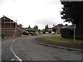
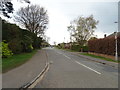
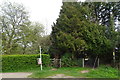
5
Denham Lane at the junction of The Warren
Image: © David Howard
Taken: 26 Aug 2014
0.10 miles
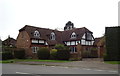
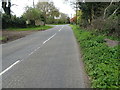
6
Joiners Lane, Chalfont St Peter
Looking west.
Image: © JThomas
Taken: 13 Apr 2019
0.10 miles
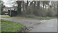
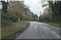
7
Denham Lane, Chalfont St Peter
Looking north west.
Image: © JThomas
Taken: 13 Apr 2019
0.11 miles
10
Footpath off Denham Lane, Chalfont St Peter
Image: © JThomas
Taken: 13 Apr 2019
0.11 miles