IMAGES TAKEN NEAR TO
Clare Drive, SLOUGH, SL2 3LL
Introduction
This page details the photographs taken nearby to Clare Drive, SL2 3LL by members of the Geograph project.
The Geograph project started in 2005 with the aim of publishing, organising and preserving representative images for every square kilometre of Great Britain, Ireland and the Isle of Man.

There are currently over 7.5m images from over14,400 individuals and you can help contribute to the project by visiting https://www.geograph.org.uk
Image Map
Images are licensed for reuse under creativecommons.org/licenses/by-sa/2.0
Notes
- Clicking on the map will re-center to the selected point.
- The higher the marker number, the further away the image location is from the centre of the postcode.
Image Listing (26 Images Found)
Images are licensed for reuse under creativecommons.org/licenses/by-sa/2.0
Image
Details
Distance
1
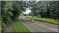
Collinswood Road A355
Millwood House private day nursery is at the bright blue fence.
Image: © James Emmans
Taken: 23 Jun 2021
0.05 miles
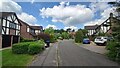
2
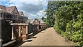
Large house redevelopmant in an unnamed road
The area has a lot of housing projects in progress.
Image: © James Emmans
Taken: 23 Jun 2021
0.08 miles
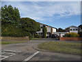
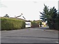
4
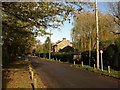
One Pin Lane at the junction of Beaconsfield Road
Image: © David Howard
Taken: 15 Jun 2017
0.10 miles
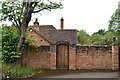
7
Hammond End - Egypt
Modern detached housing development.
Image: © James Emmans
Taken: 23 Jun 2021
0.13 miles
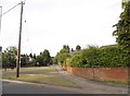
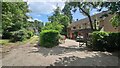
10
Christmas Lane
A charming lane leading from One Pin Lane, with scattered detached houses.
Image: © Derek Harper
Taken: 19 Nov 2010
0.16 miles