IMAGES TAKEN NEAR TO
Croydon Road, ROYSTON, SG8 0DJ
Introduction
This page details the photographs taken nearby to Croydon Road, SG8 0DJ by members of the Geograph project.
The Geograph project started in 2005 with the aim of publishing, organising and preserving representative images for every square kilometre of Great Britain, Ireland and the Isle of Man.

There are currently over 7.5m images from over14,400 individuals and you can help contribute to the project by visiting https://www.geograph.org.uk
Image Map
Images are licensed for reuse under creativecommons.org/licenses/by-sa/2.0
Notes
- Clicking on the map will re-center to the selected point.
- The higher the marker number, the further away the image location is from the centre of the postcode.
Image Listing (10 Images Found)
Images are licensed for reuse under creativecommons.org/licenses/by-sa/2.0
Image
Details
Distance
1
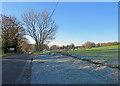
Nearing Croydon on the road from Arrington
A cloudless and frosty morning in early December. The tower of the interesting parish church shows above the trees on the right of the picture.
Image: © John Sutton
Taken: 8 Dec 2022
0.14 miles
2
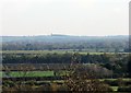
From Croydon to Linton
A long zoom shot from Church Lane, Croydon, over sixteen or so miles of South Cambridgeshire towards the hills on the Suffolk and Essex borders. The distinctive landmark of Linton Water Tower, next to the wood on Rivey Hill, is on the hazy skyline.
Image] and Image] are wider views.
Image: © John Sutton
Taken: 10 Nov 2013
0.16 miles
3
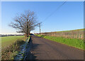
Arrington to Croydon in December
By 10.15 overnight frost had cleared in the sun, but remained in shaded places for the rest of the morning.
Image: © John Sutton
Taken: 8 Dec 2022
0.16 miles
4
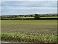
View from Croydon Road, Arrington
The road heads upwards at this point offering a wide view to the east.
Image: © David Howard
Taken: 24 Oct 2021
0.16 miles
5
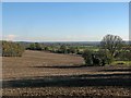
Croydon to Barrington and beyond
A wide view due east from Church Lane. Barrington Cement Works chimney just cuts the horizon to the left of centre, and Linton Water Tower and the wood on Rivey Hill - sixteen miles or so away - are on the skyline to the right of centre, more apparent to the naked eye than in this photograph: see Image] for a closer look.
Image: © John Sutton
Taken: 10 Nov 2013
0.16 miles
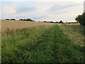
9
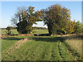
Half way between Croydon and Arrington
The farm track continues between the trees, the path to Arrington to their right.
Image: © John Sutton
Taken: 10 Nov 2013
0.23 miles