IMAGES TAKEN NEAR TO
Victoria Road, HITCHIN, SG5 2BZ
Introduction
This page details the photographs taken nearby to Victoria Road, SG5 2BZ by members of the Geograph project.
The Geograph project started in 2005 with the aim of publishing, organising and preserving representative images for every square kilometre of Great Britain, Ireland and the Isle of Man.

There are currently over 7.5m images from over14,400 individuals and you can help contribute to the project by visiting https://www.geograph.org.uk
Image Map
Images are licensed for reuse under creativecommons.org/licenses/by-sa/2.0
Notes
- Clicking on the map will re-center to the selected point.
- The higher the marker number, the further away the image location is from the centre of the postcode.
Image Listing (41 Images Found)
Images are licensed for reuse under creativecommons.org/licenses/by-sa/2.0
Image
Details
Distance
1
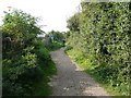
Lucas Lane, Hitchin
Here the lane passes a resiedential static caravan site.
Image: © Humphrey Bolton
Taken: 22 Sep 2010
0.12 miles
2
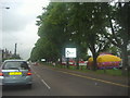
Bedford Road by Butt's Close open space, Hitchin
The fair for the bank holiday weekend is almost set up
Image: © David Howard
Taken: 31 May 2012
0.13 miles
3

Walking beside Bedford Road
Butts Close on the right.
Image: © John Lucas
Taken: 26 Nov 2014
0.14 miles

6
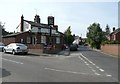
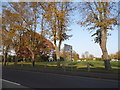
The Sir John Barleycorn, Hitchin
A suburban public house.
Image: © Humphrey Bolton
Taken: 22 Sep 2010
0.14 miles
7
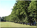
Butts Close, Hitchin
The trees at the edge of the park alongside Bedford Road.
Image: © John Lucas
Taken: 19 Jul 2008
0.15 miles
8
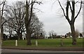
Park by Bedford Road, Hitchin
Hitchin Town FC is opposite
Image: © David Howard
Taken: 30 Jan 2022
0.15 miles