
IMAGES TAKEN NEAR TO
West Alley, HITCHIN, SG5 1EG
Introduction
This page details the photographs taken nearby to West Alley, SG5 1EG by members of the Geograph project.
The Geograph project started in 2005 with the aim of publishing, organising and preserving representative images for every square kilometre of Great Britain, Ireland and the Isle of Man.

There are currently over 7.5m images from over14,400 individuals and you can help contribute to the project by visiting https://www.geograph.org.uk
Image Map
Images are licensed for reuse under creativecommons.org/licenses/by-sa/2.0
Notes
- Clicking on the map will re-center to the selected point.
- The higher the marker number, the further away the image location is from the centre of the postcode.
Image Listing (251 Images Found)
Images are licensed for reuse under creativecommons.org/licenses/by-sa/2.0
Image
Details
Distance
2

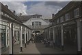
Hitchin Arcade - an interior view
The arcade is a busy through way from the Market Place to Paynes Park and to West Alley and is the home of several small shops and businesses. The area was originally occupied by the Swan public house and the current arcade building was constructed in 1927. The history of The Arcade has been recorded in https://www.hitchinhistoricals.org.uk/publications/books/hitchin-arcade/ published by Hitchin Historical Society.
Image: © John Lucas
Taken: 24 Sep 2008
0.03 miles
3
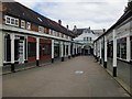
The Arcade, Hitchin (1)
Looking east towards the High Street and the Market Place. The Arcade is said to be the product of 1920's development, and is certainly a pleasant corner of Hitchin's fine town centre.
Image: © Stefan Czapski
Taken: 9 Jun 2013
0.03 miles
4
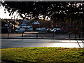
Car park beside Payne's Park, Hitchin
Viewed from the grounds of Hitchin Museum, much of the car park is on the site of the yard of the Swan, a coaching inn from whence Kershaw's coach made its daily journey from Hitchin to London - just over four hours each way on a good day. The Kershaw service had been operated for 110 years by the same family but closed completely on the opening of the railway to Hitchin in 1850.
Image: © John Lucas
Taken: 27 Jan 2012
0.03 miles
5
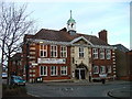
Hitchin Town Hall.
Often used as a music venue. There is a bar of course and due to its proximity to the register office, I suspect that wedding receptions also happen here.
Image: © Robin Hall
Taken: 31 Jan 2006
0.04 miles
6
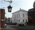
The Ivory Club, Hitchin
This is the former Town Hall. The ventilator turret on the top would have been very necessary in the old days when most the councillors would have been smoking in the council chamber.
Image: © Humphrey Bolton
Taken: 22 Sep 2010
0.04 miles
7
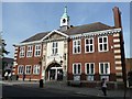
The Town Hall, Hitchin
Built in 1901 for Hitchin Urban District Council.
Image: © Humphrey Bolton
Taken: 22 Sep 2010
0.04 miles
8
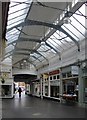
The Arcade, Hitchin (2)
A very pleasant little shopping precinct, said to date from the 1920's. The view is towards the High Street, at the point where it reaches the Market Place.
Image: © Stefan Czapski
Taken: 9 Jun 2013
0.04 miles
9
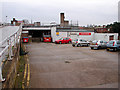
Woolworths car park, Hitchin
This area was once a malting and garden, owned by the Lucas brewing family.
Image: © John Lucas
Taken: 28 Nov 2008
0.04 miles
10
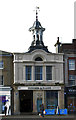
Former corn exchange, Hitchin
"Italianate of 1851 by William Beck" (Pevsner. Hertfordshire. 2nd ed, 1977, p. 200). Grade II listed building, described at this http://list.english-heritage.org.uk/resultsingle.aspx?uid=1102132.
Image: © Jim Osley
Taken: 2 Nov 2014
0.05 miles