IMAGES TAKEN NEAR TO
Broad Lane, WORKSOP, S80 4XY
Introduction
This page details the photographs taken nearby to Broad Lane, S80 4XY by members of the Geograph project.
The Geograph project started in 2005 with the aim of publishing, organising and preserving representative images for every square kilometre of Great Britain, Ireland and the Isle of Man.

There are currently over 7.5m images from over14,400 individuals and you can help contribute to the project by visiting https://www.geograph.org.uk
Image Map
Images are licensed for reuse under creativecommons.org/licenses/by-sa/2.0
Notes
- Clicking on the map will re-center to the selected point.
- The higher the marker number, the further away the image location is from the centre of the postcode.
Image Listing (10 Images Found)
Images are licensed for reuse under creativecommons.org/licenses/by-sa/2.0
Image
Details
Distance

2
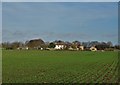
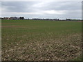
Approaching Hall Leys Farm near Hodthorpe
Image: © Neil Theasby
Taken: 30 Nov 2018
0.02 miles
3
Land-locked yacht at Hodthorpe
Must have been a very high tide! Actually a play area at Hall Leys Farm.
Image: © Peter Barr
Taken: 18 Jan 2014
0.02 miles
5
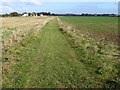
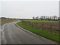
Footpath towards Hall Leys Farm near Hodthorpe
Image: © Chris Wimbush
Taken: 17 Oct 2009
0.17 miles
7
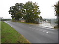
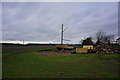
Broad Lane - Sharp Bend and Sewage Works
Image: © Alan Heardman
Taken: 15 Oct 2009
0.20 miles
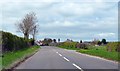
9
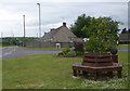
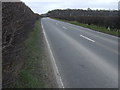
Entering Hodthorpe from the east
There is a spacious verge by Broad Lane as it reaches the little cul-de-sac at Birks Close.
Image: © Andrew Hill
Taken: 10 May 2011
0.23 miles