
IMAGES TAKEN NEAR TO
Smithies Lane, BARNSLEY, S75 1BQ
Introduction
This page details the photographs taken nearby to Smithies Lane, S75 1BQ by members of the Geograph project.
The Geograph project started in 2005 with the aim of publishing, organising and preserving representative images for every square kilometre of Great Britain, Ireland and the Isle of Man.

There are currently over 7.5m images from over14,400 individuals and you can help contribute to the project by visiting https://www.geograph.org.uk
Image Map
Images are licensed for reuse under creativecommons.org/licenses/by-sa/2.0
Notes
- Clicking on the map will re-center to the selected point.
- The higher the marker number, the further away the image location is from the centre of the postcode.
Image Listing (14 Images Found)
Images are licensed for reuse under creativecommons.org/licenses/by-sa/2.0
Image
Details
Distance
2
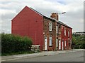
Terraced houses on Smithies Lane, Barnsley
Image: © Neil Theasby
Taken: 2 Sep 2014
0.14 miles
5
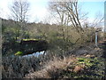
Shallow open water on the former Barnsley Canal
The section of the Barnsley Canal between Barnsley and Barnby Basin. Built to carry coal out of the Barnsley coalfields, it opened in early 1802 and formally closed in 1953. Much of the former towpath is now a public footpath.
Image: © Christine Johnstone
Taken: 31 Dec 2017
0.23 miles
6
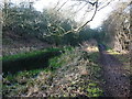
The Dearne Way on the Barnsley Canal towpath
The section of the Barnsley Canal between Barnsley and Barnby Basin. Built to carry coal out of the Barnsley coalfields, it opened in early 1802 and formally closed in 1953. Much of the former towpath is now a public footpath.
Image: © Christine Johnstone
Taken: 31 Dec 2017
0.24 miles
7
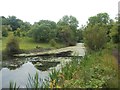
The Barnsley Canal at Smithy Green
Disused canal and the Dearne Valley Way pictured on a slightly muggy late afternoon in mid June. The view is in the direction of the canal terminus a couple of miles to the west at Barnby Basin.
Image: © Jonathan Clitheroe
Taken: 13 Jun 2015
0.24 miles
8
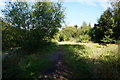
Penistone Rail Trail alongside Barnsley Canal
Image: © Ian S
Taken: 24 Aug 2016
0.24 miles
9
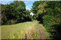
Penistone Rail Trail alongside Barnsley Canal
Image: © Ian S
Taken: 24 Aug 2016
0.24 miles
10
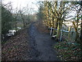
Stile on the Barnsley Canal towpath
Leading to an informal path alongside the River Dearne [not a public footpath].
Image: © Christine Johnstone
Taken: 31 Dec 2017
0.24 miles